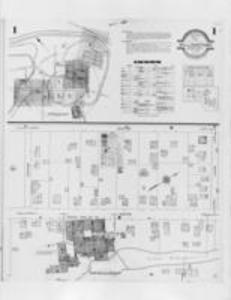
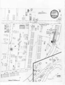
Williamstown, Berkshire County, Massachusetts, plates 1-9, by the Sanborn Map Company, 1931 DC2012_001_0024: map of Meacham Street, Water Street, Cornish Wire Company; DC2012_001_0025: map of Main Street, South Street, north Street, Hoxsey Street; DC2012_001_0026: map of Williams CollegeCollege Place, Park Street; DC2012_001_0027: map of Thompson Laboratories; Grace Court, Spring Street, Hoxsey Avenue; DC2012_001_0028: map of Williams College, Spring Street; DC2012_001_0029: map of Main Street, Water Street;DC2012_001_0030: map of School Street, College Place, Church Street, Lynde Lane; DC2012_001_0031: map of Cole Avenue, Hall Street, Maple Avenue, Front Street; DC2012_001_0032: map of Lynde Lane, Sand Springs Road.