Wellesley Free Library
Wellesley Free Library Local Historical Maps
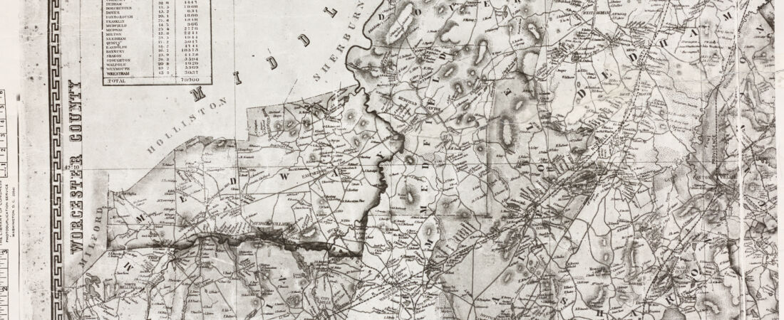
Detail from:
Map of Norfolk County, Massachusetts
The Wellesley Free Library has been an avid promoter and protector of local cultural heritage since its founding in 1883. A portion of Wellesley’s local historical map collection has been digitized for online use, and these maps have been selected to provide a range of material available in the library’s print collection. The digital collection contains maps ranging from 1853 to 1999, with the bulk of the collection spanning from 1935 to 1999. These materials detail the changing landscape, topography, and community of Wellesley and some surrounding towns.