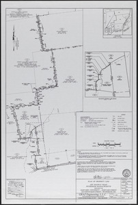
221. Plan of property line - Simes Tract Creator: Graz Engineering Format: Maps/Atlases Collection: The Harvard Forest Map Collection Date: December 4, 2015 Institution: Harvard Forest Archives
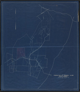
222. Plan of proposed Federation of Women's Clubs State Forest 1930 Creator: Bowers, F. Format: Maps/Atlases Collection: The Harvard Forest Map Collection Date: 1930 Institution: Harvard Forest Archives
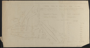
223. Plan of proposed golf course, Petersham County Club Creator: Ross, Donald J., 1872-1948; Hatch, W. B. Format: Maps/Atlases Collection: The Harvard Forest Map Collection Date: 1922 Institution: Harvard Forest Archives
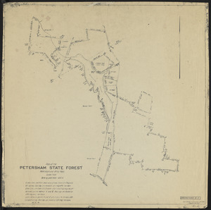
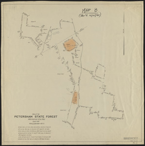
224. Plan of the Petersham State Forest Creator: Bowers, F.; Dubuque, K. Format: Maps/Atlases Collection: The Harvard Forest Map Collection Date: June 1963 Institution: Harvard Forest Archives
225. Plan of the Petersham State Forest Creator: Bowers, F. Format: Maps/Atlases Collection: The Harvard Forest Map Collection Date: January 1937 Institution: Harvard Forest Archives
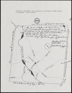
226. Plan of the town of Petersham, 1795, showing roads, mills, etc. Creator: Robinson, Jeremiah Format: Maps/Atlases Collection: The Harvard Forest Map Collection Date: 1795 Institution: Harvard Forest Archives
227. Plan Showing Property - Tall Timbers Format: Maps/Atlases Collection: The Harvard Forest Map Collection Date: November 21, 1921 Institution: Harvard Forest Archives
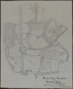
228. Plane Table Traverse of Harvard Farm 1911 Creator: Mills, K. Format: Maps/Atlases Collection: The Harvard Forest Map Collection Date: April 1911 Institution: Harvard Forest Archives
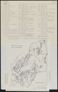
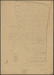
229. Plantation Maps of Prospect Hill Tract Format: Maps/Atlases Collection: The Harvard Forest Map Collection Date: 1946 Institution: Harvard Forest Archives
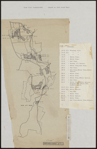
230. Plantation Maps of Slab City Tract Format: Maps/Atlases Collection: The Harvard Forest Map Collection Date: 1946 Institution: Harvard Forest Archives
231. Plantation Maps of Tom Swamp Tract Format: Maps/Atlases Collection: The Harvard Forest Map Collection Date: 1947 Institution: Harvard Forest Archives
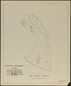
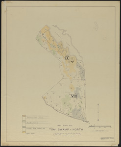
232. Plantation reassessment, Tom Swamp North 1947 Creator: Dodge, A. G.; Stephen, E.P. Format: Maps/Atlases Collection: The Harvard Forest Map Collection Date: 1960 Institution: Harvard Forest Archives
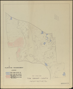
233. Plantation reassessment, Tom Swamp South 1947 Creator: Dodge, A. G.; Stephen, E.P. Format: Maps/Atlases Collection: The Harvard Forest Map Collection Date: 1960 Institution: Harvard Forest Archives
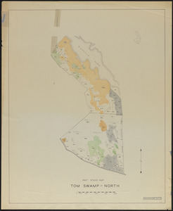
234. Plantations, open land, swamps and ponds, Tom Swamp North Creator: Stephens, E. P. Format: Maps/Atlases Collection: The Harvard Forest Map Collection Date: 1947 Institution: Harvard Forest Archives
235. Plantations, open land, swamps and ponds, Tom Swamp North Creator: Stephens, E. P. Format: Maps/Atlases Collection: The Harvard Forest Map Collection Date: 1947 Institution: Harvard Forest Archives
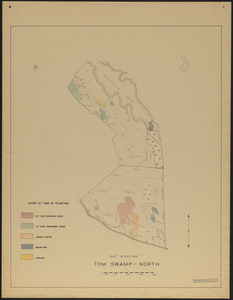
236. Plantations Tom Swamp North - cover at time of planting 1947 Creator: Stephens, E. P. Format: Maps/Atlases Collection: The Harvard Forest Map Collection Date: 1947 Institution: Harvard Forest Archives
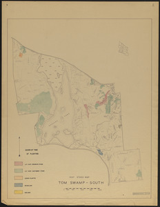
237. Plantations Tom Swamp South - cover at time of planting 1947 Creator: Stephens, E. P. Format: Maps/Atlases Collection: The Harvard Forest Map Collection Date: 1947 Institution: Harvard Forest Archives
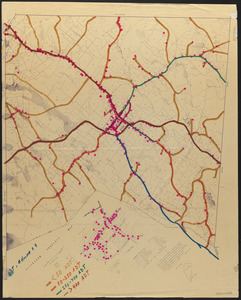
238. Population Density of Petersham Roads Creator: Gould, E. M.; Lyford, Walter Henry, 1909- Format: Maps/Atlases Collection: The Harvard Forest Map Collection Date: 1974–2014 Institution: Harvard Forest Archives
239. Proposed Arboretum Site, Prospect Hill II Creator: Johnston, J. W.; Gould, E. W. Format: Maps/Atlases Collection: The Harvard Forest Map Collection Date: September 11, 1941 Institution: Harvard Forest Archives
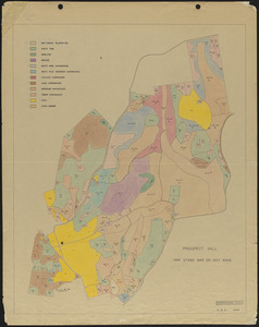
240. Prospect Hill 1919 Stand map Creator: Spurr, Stephen H., 1918-1990 Format: Maps/Atlases Collection: The Harvard Forest Map Collection Date: 1946 Institution: Harvard Forest Archives