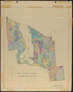
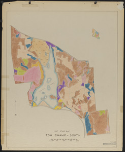
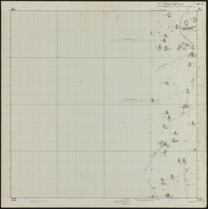
481. Stand maps of Tom Swamp-South 1937 Creator: Spurr, Stephen H., 1918-1990 Format: Maps/Atlases Collection: The Harvard Forest Map Collection Date: 1947 Institution: Harvard Forest Archives
482. Stand maps of Tom Swamp-South 1947 Creator: Stephens, E. P. Format: Maps/Atlases Collection: The Harvard Forest Map Collection Date: 1947 Institution: Harvard Forest Archives
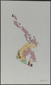
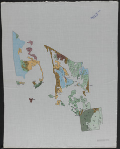
483. Standing timber by type, volume and quality Tom Swamp North Format: Maps/Atlases Collection: The Harvard Forest Map Collection Date: 1956 Institution: Harvard Forest Archives
484. Standing timber by type, volume and quality Tom Swamp South Format: Maps/Atlases Collection: The Harvard Forest Map Collection Date: 1956 Institution: Harvard Forest Archives
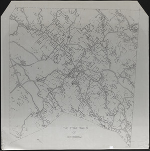
485. The Stone Walls of Petersham - mylar overlay Creator: Gould, E. M.; Lyford, Walter Henry, 1909- Format: Maps/Atlases Collection: The Harvard Forest Map Collection Date: 1970–1979 Institution: Harvard Forest Archives
486. Study of Cutover Old Field Pine Stands Creator: McKinnon, F. S., Hyde, G. R., Cline, A. C., and Geological Survey (U.S.) Format: Maps/Atlases Collection: The Harvard Forest Map Collection Date: 1932 Institution: Harvard Forest Archives
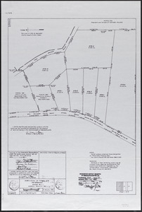
487. Subdivision of Parcel 579 - Nadeau Realty, Inc Creator: Berry, W. L. Format: Maps/Atlases Collection: The Harvard Forest Map Collection Date: January 6, 1984 Institution: Harvard Forest Archives
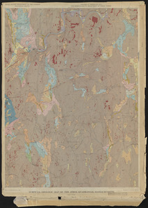
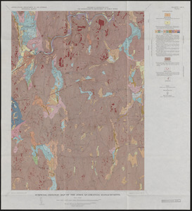
488. Surficial Geologic Map of the Athol Quadrangle. MA Creator: Geological Survey (U.S.); Eschman, D.F. Format: Maps/Atlases Collection: The Harvard Forest Map Collection Date: 1966 Institution: Harvard Forest Archives
489. Surficial Geology and glaciofluvial sequences of the Athol Quadrangle - preliminary map 1963 and final maps 1966 Creator: Geological Survey (U.S.); Eschman, D.F. Format: Maps/Atlases Collection: The Harvard Forest Map Collection Date: 1966 Institution: Harvard Forest Archives
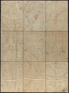
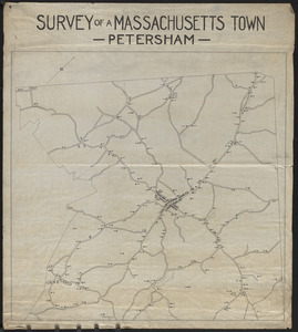
490. Survey of a Massachusetts Town - Petersham Format: Maps/Atlases Collection: The Harvard Forest Map Collection Date: 1907–1999 Institution: Harvard Forest Archives
491. Survey of Adams-Fay Lot (TS IX) Creator: Cummings, W. H. Format: Maps/Atlases Collection: The Harvard Forest Map Collection Date: 1934 Institution: Harvard Forest Archives
492. Survey of Joseph C. Smith Lot (TS VII) Tom Swamp Block Creator: Cummings, W. H.; Kraemer, John Hugo Format: Maps/Atlases Collection: The Harvard Forest Map Collection Date: May 31, 1935 Institution: Harvard Forest Archives
493. Survey of Riceville Dam and North Boundary of TS IX Creator: Slack, T. B.; Maisner, W. P. Format: Maps/Atlases Collection: The Harvard Forest Map Collection Date: September 1960–October 1960 Institution: Harvard Forest Archives
494. Survey of Tom Swamp South, Petersham, MA Creator: Berry, A. M. Format: Maps/Atlases Collection: The Harvard Forest Map Collection Date: January 4, 2016 Institution: Harvard Forest Archives
495. Surveys of Petersham Lots Creator: Gould, E. M. Format: Maps/Atlases Collection: The Harvard Forest Map Collection Date: 1976–1978 Institution: Harvard Forest Archives
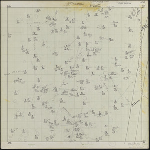
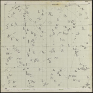
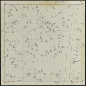
496. SW00 0 x 0 ft. Block of Lyford Grid Creator: Lyford, Walter Henry, 1909-, Carolan, Peter, and Kretschmar, Holly Format: Maps/Atlases Collection: The Harvard Forest Map Collection Date: May 3, 1969–June 2, 1992 Institution: Harvard Forest Archives
497. SW01 0 x 100 ft. Block Lyford Grid Creator: Lyford, Walter Henry, 1909-, Hoagland, Ralph P., Carlson, Joel, Yao, Peikang, and Jacobson, Tom Format: Maps/Atlases Collection: The Harvard Forest Map Collection Date: February 23, 1969–June 2, 1992 Institution: Harvard Forest Archives
498. SW10 100 x 0 ft. Block Lyford Grid Creator: Lyford, Walter Henry, 1909-; Keith, Kasey Format: Maps/Atlases Collection: The Harvard Forest Map Collection Date: May 1, 1969–June 28, 1991 Institution: Harvard Forest Archives
499. SW11 100 x 100 ft. Block Lyford Grid Creator: Lyford, Walter Henry, 1909-; Keith, Kasey Format: Maps/Atlases Collection: The Harvard Forest Map Collection Date: May 4, 1969–July 8, 1991 Institution: Harvard Forest Archives
500. SW20 200 x 0 ft. Block Lyford Grid Creator: Lyford, Walter Henry, 1909-; Keith, Kasey Format: Maps/Atlases Collection: The Harvard Forest Map Collection Date: May 3, 1969–July 25, 1991 Institution: Harvard Forest Archives