221. Plan of Woodland Vale, in Newton, belonging to Wm. Kenrick Creator: Wadsworth, Alexander, 1806-1898 Format: Maps/Atlases Collection: Boston and New England Maps (Collection of Distinction) / Norman B. Leventhal Map & Education Center Collection / Urban Maps (Collection of Distinction) Date: 1845 Institution: Boston Public Library
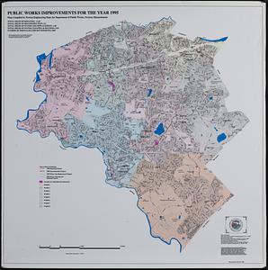
222. Public works improvements for the year 1995 Creator: Newton (Mass.). Engineering Department; Applied Geographics, Inc. Format: Maps/Atlases Collection: Applied Geographics, Inc. Records / Boston and New England Maps (Collection of Distinction) / Norman B. Leventhal Map & Education Center Collection / Urban Maps (Collection of Distinction) Date: 1995 Institution: Boston Public Library
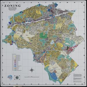
223. Zoning city of Newton, Massachusetts Creator: Applied Geographics, Inc. Format: Maps/Atlases Collection: Applied Geographics, Inc. Records / Boston and New England Maps (Collection of Distinction) / Norman B. Leventhal Map & Education Center Collection / Urban Maps (Collection of Distinction) Date: 1997 Institution: Boston Public Library
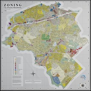
224. Zoning city of Newton, Massachusetts Creator: Applied Geographics, Inc. Format: Maps/Atlases Collection: Applied Geographics, Inc. Records / Boston and New England Maps (Collection of Distinction) / Norman B. Leventhal Map & Education Center Collection / Urban Maps (Collection of Distinction) Date: 1997 Institution: Boston Public Library
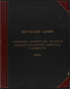
225. Atlas of the boundaries of the cities of Cambridge, Somerville, Waltham and towns of Belmont, Burlington, Lexington, Watertown, Middlesex County Creator: Board of Harbor and Land Commissioners of Massachusetts Format: Maps/Atlases Collection: Massachusetts Board of Harbor and Land Commissioners Date: 1903 Institution: State Library of Massachusetts
226. Atlas of the boundaries of the cities of Chicopee and Springfield and towns of Brimfield, East Longmeadow, Hampden, Holland, Longmeadow, Ludlow, Monson, Palmer, Wales,... Creator: Board of Harbor and Land Commissioners of Massachusetts Format: Maps/Atlases Collection: Massachusetts Board of Harbor and Land Commissioners Date: 1912 Institution: State Library of Massachusetts
227. Atlas of the boundaries of the cities of Fall River - New Bedford and towns of Acushnet, Berk[e]ley, Dartmouth, Dighton, Fairhaven, Freetown, Somerset, Swansea,... Creator: Board of Harbor and Land Commissioners of Massachusetts Format: Maps/Atlases Collection: Massachusetts Board of Harbor and Land Commissioners Date: 1904 Institution: State Library of Massachusetts
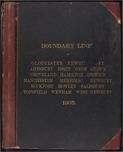
228. Atlas of the boundaries of the cities of Gloucester and Newburyport and towns of Amesbury, Essex, Georgetown, Groveland, Hamilton, Ipswich, Manchester, Merrimac,... Creator: Board of Harbor and Land Commissioners of Massachusetts Format: Maps/Atlases Collection: Massachusetts Board of Harbor and Land Commissioners Date: 1905 Institution: State Library of Massachusetts
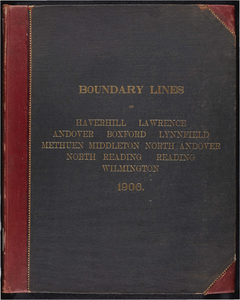
229. Atlas of the boundaries of the cities of Haverhill, Lawrence and towns of Andover, Boxford, Lynnfield, Methuen, Middleton, North Andover, Essex County North Reading,... Creator: Board of Harbor and Land Commissioners of Massachusetts Format: Maps/Atlases Collection: Massachusetts Board of Harbor and Land Commissioners Date: 1906 Institution: State Library of Massachusetts
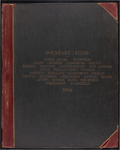
230. Atlas of the boundaries of the cities of North Adams and Pittsfield and towns of Adams, Cheshire, Clarksburg, Dalton, Florida, Hancock, Lanesborough, New Ashford,... Creator: Board of Harbor and Land Commissioners of Massachusetts Format: Maps/Atlases Collection: Massachusetts Board of Harbor and Land Commissioners Date: 1913 Institution: State Library of Massachusetts
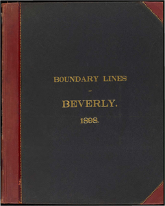
231. Atlas of the boundaries of the city of Beverly, Essex County Creator: Massachusetts. Topographical Survey Commission Format: Books Collection: Massachusetts Board of Harbor and Land Commissioners Date: 1898 Institution: State Library of Massachusetts
232. Atlas of the boundaries of the city of Boston, Suffolk County and town of Brookline, Norfolk County Creator: Board of Harbor and Land Commissioners of Massachusetts Format: Maps/Atlases Collection: Massachusetts Board of Harbor and Land Commissioners Date: 1902 Institution: State Library of Massachusetts
233. Atlas of the boundaries of the city of Brockton, Plymouth County Creator: Massachusetts. Topographical Survey Commission Format: Books Collection: Massachusetts Board of Harbor and Land Commissioners Date: 1898 Institution: State Library of Massachusetts
234. Atlas of the boundaries of the city of Chelsea, Suffolk County Creator: Massachusetts. Topographical Survey Commission Format: Books Collection: Massachusetts Board of Harbor and Land Commissioners Date: 1898 Institution: State Library of Massachusetts
235. Atlas of the boundaries of the city of Everett, Middlesex County Creator: Massachusetts. Topographical Survey Commission Format: Books Collection: Massachusetts Board of Harbor and Land Commissioners Date: 1898 Institution: State Library of Massachusetts
236. Atlas of the boundaries of the city of Fitchburg and towns of Ashburnham, Athol, Gardner, Leominster, Lunenburg, Phillipston, Royalston, Templeton, Westminster,... Creator: Board of Harbor and Land Commissioners of Massachusetts Format: Maps/Atlases Collection: Massachusetts Board of Harbor and Land Commissioners Date: 1909 Institution: State Library of Massachusetts
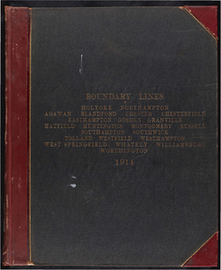
237. Atlas of the boundaries of the city of Holyoke and towns of Agawam, Blandford, Chester, Granville, Montgomery, Russell, Southwick, Tolland, Westfield, West... Creator: Board of Harbor and Land Commissioners of Massachusetts Format: Maps/Atlases Collection: Massachusetts Board of Harbor and Land Commissioners Date: 1914 Institution: State Library of Massachusetts
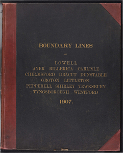
238. Atlas of the boundaries of the city of Lowell and towns of Ayer, Billerica, Carlisle, Chelmsford, Dracut, Dunstable, Groton, Littleton, Pepperell, Shirley, Tewksbury,... Creator: Board of Harbor and Land Commissioners of Massachusetts Format: Maps/Atlases Collection: Massachusetts Board of Harbor and Land Commissioners Date: 1907 Institution: State Library of Massachusetts
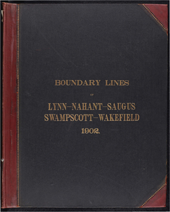
239. Atlas of the boundaries of the city of Lynn and towns of Nahant, Saugus, and Swampscott, Essex County and Wakefield, Middlesex County Creator: Board of Harbor and Land Commissioners of Massachusetts Format: Maps/Atlases Collection: Massachusetts Board of Harbor and Land Commissioners Date: 1902 Institution: State Library of Massachusetts
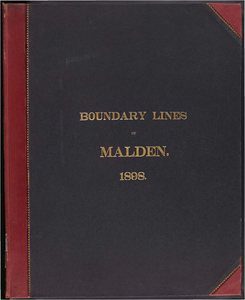
240. Atlas of the boundaries of the city of Malden, Middlesex County Creator: Massachusetts. Topographical Survey Commission Format: Books Collection: Massachusetts Board of Harbor and Land Commissioners Date: 1898 Institution: State Library of Massachusetts

![Atlas of the boundaries of the cities of Fall River - New Bedford and towns of Acushnet, Berk[e]ley, Dartmouth, Dighton, Fairhaven, Freetown, Somerset, Swansea, Westport, Bristol County](https://bpldcassets.blob.core.windows.net/derivatives/metadata/commonwealth-oai:1r66jh22w/image_thumbnail_300.jpg)