Search
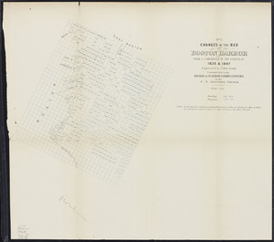
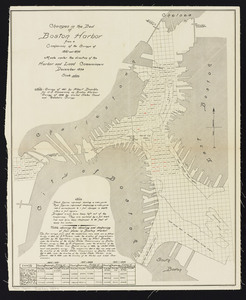
![Copy of a plan of the Harbour of Boston [Charles River] made by Commissioners January 27, 1837 ; shewing the harbour line recommended by Commissioners in 1839](https://bpldcassets.blob.core.windows.net/derivatives/metadata/commonwealth-oai:0c484161w/image_thumbnail_300.jpg)
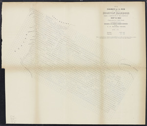
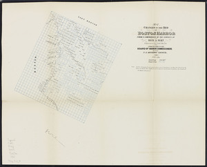
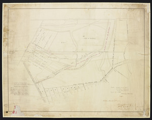
![Copy of a plan of the Harbour of Boston [Chelsea Creek]](https://bpldcassets.blob.core.windows.net/derivatives/metadata/commonwealth-oai:jd473c44m/image_thumbnail_300.jpg)
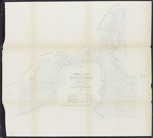
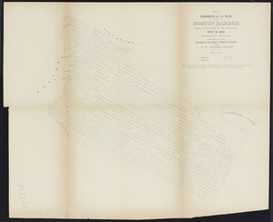
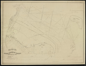
![Copy of a plan of the Harbour of Boston [South Boston]](https://bpldcassets.blob.core.windows.net/derivatives/metadata/commonwealth-oai:8336hj18z/image_thumbnail_300.jpg)
Limit your search
- Massachusetts Board of Harbor and Land Commissioners202
- Norman B. Leventhal Map & Education Center Collection182
- Boston and New England Maps (Collection of Distinction)177
- Urban Maps (Collection of Distinction)174
- Blue Books of Newton27
- Applied Geographics, Inc. Records8
- Massachusetts Real Estate Atlases8
- Massachusetts Board of Railroad Commissioners4