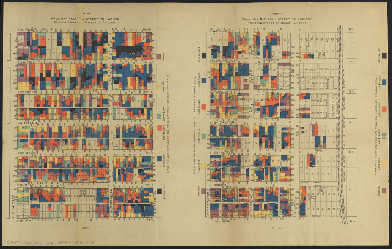
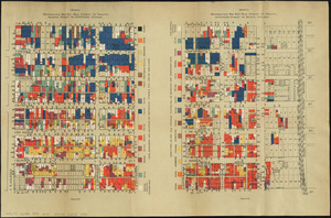
Wage map no. 1 - Polk Street to Twelfth, Halsted Street to Jefferson, Chicago ; Wage map no. 2 - Polk Street to Twelfth, Jefferson Street to Beach, Chicago
Wage map no. 1 - Polk Street to Twelfth, Halsted Street to Jefferson, Chicago ; Wage map no. 2 - Polk Street to Twelfth, Jefferson Street to Beach, Chicago
Item Information
Title:
Wage map no. 1 - Polk Street to Twelfth, Halsted Street to Jefferson, Chicago ; Wage map no. 2 - Polk Street to Twelfth, Jefferson Street to Beach, Chicago
Maps issued in: Hull House maps and papers. New York : Thomas Y. Crowell & Co., 1895.
Imprint statement from title page of accompanying book.
Based on cadastral maps "made from the Greely [that is, Greeley] and Carlsen [that is, Carlson] survey, and generously prepared for the present purpose by Mr. Greely."--Page 8 of accompanying book.
Indicates nationalities and family weekly income.
Notes (date):
This date is inferred.
Notes (citation):
R.W. Karrow, Checklist of printed maps of the Middle West 4-2332 and 4-2333