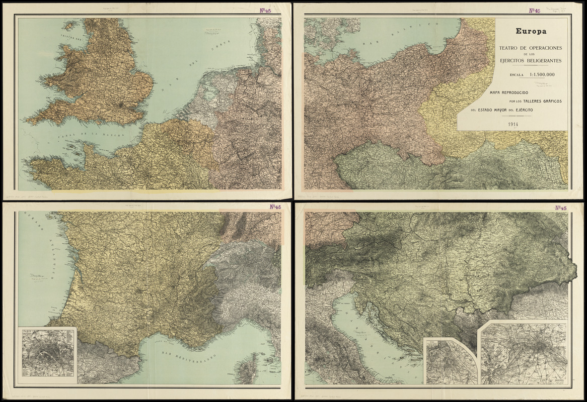
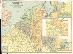
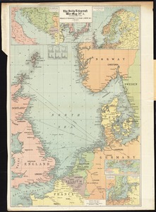
Relief shown by hachures and spot heights. Depths shown by isolines.
Shows borders, topographic features, cities and towns, provinces, ports, and major transportation routes.
Inset maps: Berlin, Potsda -- Wien und weitere Umgegend -- Paris und Umgebung.