Skip to search
Skip to main content
Digital Commonwealth
Sign Up / Log In
Search for
Search
Search
Search
Basic
Advanced
Explore
Map
Collections
Institutions
Formats
For Educators
Primary Source Sets
Lesson Plans
Using Primary Sources
Searching Digital Commonwealth
For Institutions
Join Digital Commonwealth
Conferences, Trainings, & Events
How to Contribute Collections
Digitization Services
Board & Committees
Frequently Asked Questions
About
About Digital Commonwealth
News & Announcements
Copyright & Terms of Use
Harmful Content Statement
Partners
API
Contact Us
Boston Public Library
Norman B. Leventhal Map & Education Center Collection
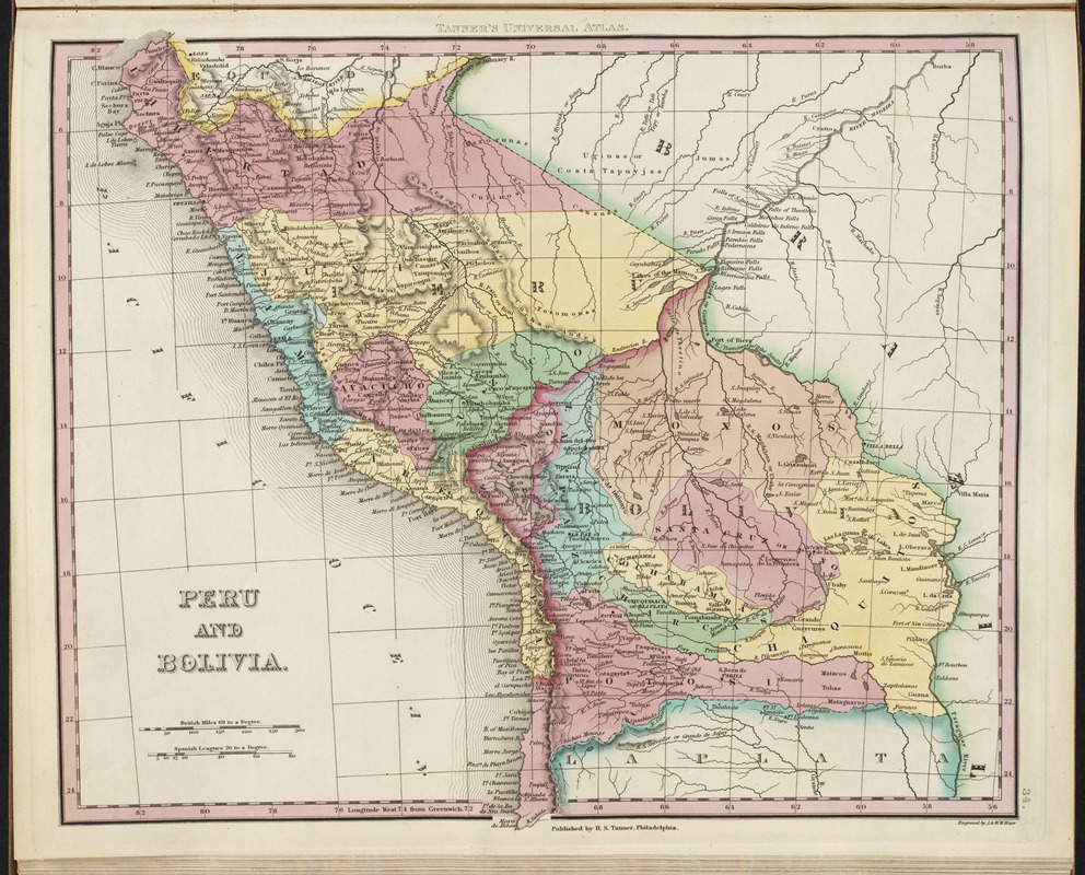
Peru and Bolivia
Peru and Bolivia
×
Item Information
Title:
Peru and Bolivia
Title (alt.):
Tanner's universal atlas
Creator:
Tanner, Henry Schenck, 1786-1858
Cartographer:
Tanner, Henry Schenck, 1786-1858
Engraver:
J. & W.W. Warr (Firm)
Name on Item:
engraved by J. & W.W. Warr
Date:
[1836]
Format:
Maps/Atlases
Location:
Boston Public Library
Norman B. Leventhal Map & Education Center
Collection (local):
Norman B. Leventhal Map & Education Center Collection
Subjects:
Bolivia--Maps
Peru--Maps
Places:
Bolivia
Peru
Extent:
1 map : color ; 30 x 35 cm
Permalink:
https://ark.digitalcommonwealth.org/ark:/50959/3f463191d
Terms of Use:
No known copyright restrictions.
No known restrictions on use.
Publisher:
Philadelphia : H.S. Tanner
Scale:
Scale approximately 1:8,100,000
Language:
English
Notes:
Relief shown by hachures.
Page 34 in his New universal atlas. Philadelphia : H.S. Tanner, 1836.
Notes (date):
This date is inferred.
Identifier:
06_01_001375
Call #:
G1019 .T2 1836
Barcode:
30000005055279
show more...
View MODS XML
More Like This
Brazil, Bolivia, & Peru
Peru, Chili and La Plata
Rand, McNally & Co.'s indexed atlas of the world map of Bolivia, ...
Richard Mayer's commercial map of Northern Chili, Bolivia & ...
Find More Like This >>
Tools
Share
Facebook
Pinterest
X
Reddit
Tumblr
Email
Copy link
Add to Folder
Questions/Comments
Cite This Item
IIIF Manifest
Downloads
Primary (full resolution, uncompressed)
(TIF, 35 MB)
Large (full resolution)
(JPEG, 2.94 MB)
Medium
(JPEG, 356 KB)
GeoTIFF (georeferenced)
(TIF, 35.7 MB)