Skip to search
Skip to main content
Digital Commonwealth
Sign Up / Log In
Search for
Search
Search
Search
Basic
Advanced
Explore
Map
Collections
Institutions
Formats
For Educators
Primary Source Sets
Lesson Plans
Using Primary Sources
Searching Digital Commonwealth
For Institutions
Join Digital Commonwealth
Conferences, Trainings, & Events
How to Contribute Collections
Digitization Services
Board & Committees
Frequently Asked Questions
About
About Digital Commonwealth
News & Announcements
Copyright & Terms of Use
Harmful Content Statement
Partners
API
Contact Us
Boston Public Library
Norman B. Leventhal Map & Education Center Collection
Tabulae maximae quibus illustrantur terrae veterum in usum scholarum
Tabulae maximae quibus illustrantur terrae veterum in usum scholarum
×
Item Information
Title:
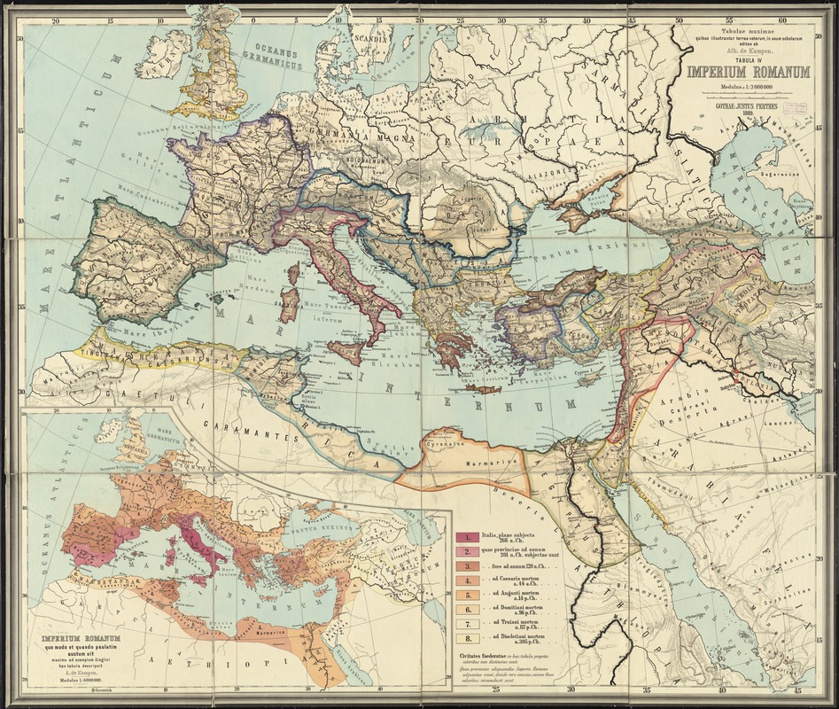
Tabulae maximae quibus illustrantur terrae veterum in usum scholarum
Title (alt.):
Tabula IV Imperium Romanum
Imperium Romanum
Creator:
Kampen, Albert van, 1842-1891
Date:
1889
Format:
Maps/Atlases
Location:
Boston Public Library
Norman B. Leventhal Map & Education Center
Collection (local):
Norman B. Leventhal Map & Education Center Collection
Subjects:
Geography, Ancient--Maps
Classical geography--Maps
Rome--Maps
Europe--Historical geography--Maps
Africa, North--Historical geography--Maps
Middle East--Historical geography--Maps
Places:
Europe
North Africa
(area)
Middle East
(area)
Roman Empire
Europe
Extent:
1 map : color ; 164 x 188 cm
Permalink:
https://ark.digitalcommonwealth.org/ark:/50959/4m90fm254
Terms of Use:
No known copyright restrictions.
No known restrictions on use.
Publisher:
Gothae : Justus Perthes,
Scale:
Scale 1:3,000,000
Language:
Latin
Notes:
Relief shown by hachures.
Inset: Imperium Romanum quo modo et quando paulatim auctum sit maxime ad exemplum Sieglini hac tabula descripsit.
Identifier:
06_01_012011
Call #:
G6700 1889 .K36
Barcode:
39999065691071
show more...
View MODS XML
More Like This
Kingdom of the Caliphs
Orbis Romani pars occidentalis
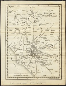
A plan of the environs of ancient Rome
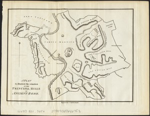
A plan to illustrate the situation of the principal hills of ...
Find More Like This >>
Tools
Share
Facebook
Pinterest
X
Reddit
Tumblr
Email
Copy link
Add to Folder
Questions/Comments
Cite This Item
IIIF Manifest
Downloads
Primary (full resolution, uncompressed)
(TIF, 758 MB)
Large (full resolution)
(JPEG, 63.6 MB)
Medium
(JPEG, 368 KB)
GeoTIFF (georeferenced)
(TIF, 1.05 GB)