Skip to search
Skip to main content
Digital Commonwealth
Sign Up / Log In
Search for
Search
Search
Search
Basic
Advanced
Explore
Map
Collections
Institutions
Formats
For Educators
Primary Source Sets
Lesson Plans
Using Primary Sources
Searching Digital Commonwealth
For Institutions
Join Digital Commonwealth
Conferences, Trainings, & Events
How to Contribute Collections
Digitization Services
Board & Committees
Frequently Asked Questions
About
About Digital Commonwealth
News & Announcements
Copyright & Terms of Use
Harmful Content Statement
Partners
API
Contact Us
Boston Public Library
Norman B. Leventhal Map & Education Center Collection
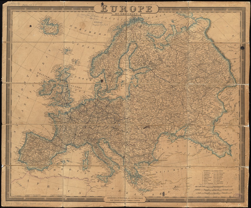
Europe
Europe
×
Item Information
Title:
Europe
Creator:
Cruchley, G. F.
Name on Item:
by Cruchley.
Date:
1838
Format:
Maps/Atlases
Location:
Boston Public Library
Norman B. Leventhal Map & Education Center
Collection (local):
Norman B. Leventhal Map & Education Center Collection
Subjects:
Europe--Maps
Places:
Europe
Europe
Extent:
1 map : hand colored ; 50 x 62 cm
Permalink:
https://ark.digitalcommonwealth.org/ark:/50959/4m90fm46w
Terms of Use:
No known copyright restrictions.
No known restrictions on use.
Publisher:
London : G.F. Cruchley,
Scale:
Scale approximately 1:8,850,000
Language:
English
Notes:
Relief shown by hachures.
In lower left: Published January 1st, 1833. Improved to 1838.
Identifier:
06_01_012023
Call #:
G5700 1838 .C78
Barcode:
39999065692897
show more...
View MODS XML
More Like This
An accurate map of Europe from the best authorities
Angling in troubled waters = der fischfang im truben = la peche en ...
Bacon's large scale shilling map of seat of war from Paris to ...
Bacon's map of Europe
Find More Like This >>
Tools
Share
Facebook
Pinterest
X
Reddit
Tumblr
Email
Copy link
Add to Folder
Questions/Comments
Cite This Item
IIIF Manifest
Downloads
Primary (full resolution, uncompressed)
(TIF, 144 MB)
Large (full resolution)
(JPEG, 12.1 MB)
Medium
(JPEG, 367 KB)