Skip to search
Skip to main content
Digital Commonwealth
Sign Up / Log In
Search for
Search
Search
Search
Basic
Advanced
Explore
Map
Collections
Institutions
Formats
For Educators
Primary Source Sets
Lesson Plans
Using Primary Sources
Searching Digital Commonwealth
For Institutions
Join Digital Commonwealth
Conferences, Trainings, & Events
How to Contribute Collections
Digitization Services
Board & Committees
Frequently Asked Questions
About
About Digital Commonwealth
News & Announcements
Copyright & Terms of Use
Harmful Content Statement
Partners
API
Contact Us
Boston Public Library
Norman B. Leventhal Map & Education Center Collection
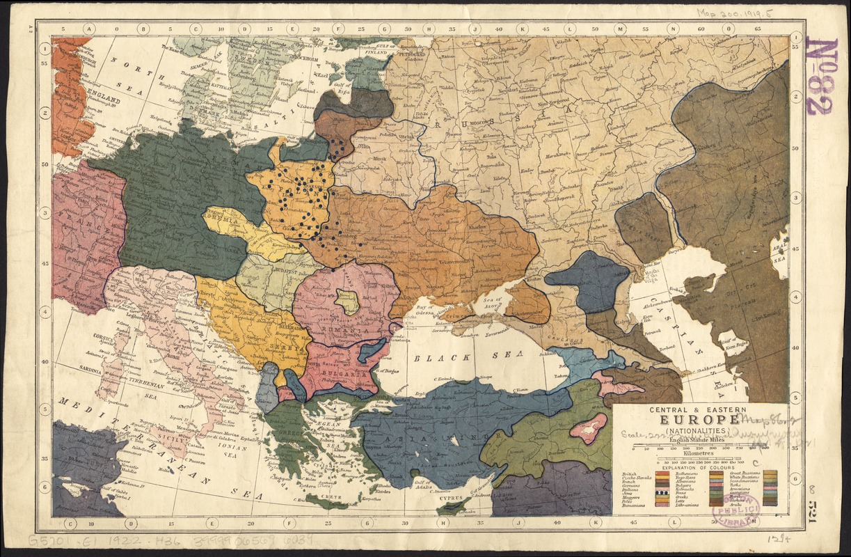
Central & Eastern Europe (nationalities)
Central & Eastern Europe (nationalities)
×
Item Information
Title:
Central & Eastern Europe (nationalities)
Title (alt.):
Central and Eastern Europe nationalities
Creator:
Hammerton, John Alexander, Sir, 1871-1949
Date:
[1922?]
Format:
Maps/Atlases
Location:
Boston Public Library
Norman B. Leventhal Map & Education Center
Collection (local):
Norman B. Leventhal Map & Education Center Collection
Subjects:
Ethnology--Europe--Maps
Europe--Maps
Places:
Europe
Europe
Extent:
1 map : color ; 21 x 31 cm
Permalink:
https://ark.digitalcommonwealth.org/ark:/50959/4m90fn69d
Terms of Use:
No known copyright restrictions.
No known restrictions on use.
Publisher:
[London] : [publisher not identified]
Scale:
Scale approximately 1:14,500,000
Language:
English
Notes:
Text and illustrations on verso.
In upper right on verso: Harmsworth's new atlas.
Pages 521 and 522 from Harmsworth's atlas of the world.
Identifier:
06_01_012276
Call #:
G5701.E1 1922 .H36
Barcode:
39999065696039
show more...
View MODS XML
More Like This
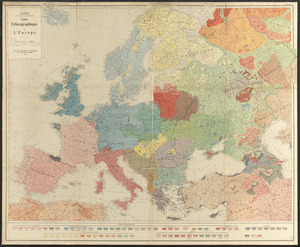
Carte ethnographique de l'Europe
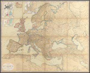
Karte von Europa und dem Mittelländischen Meere
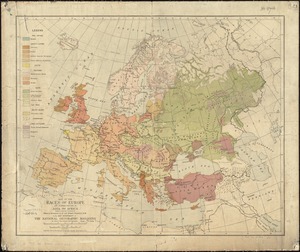
Map of the races of Europe and adjoining portions of Asia and Africa
The races of Europe
Find More Like This >>
Tools
Share
Facebook
Pinterest
X
Reddit
Tumblr
Email
Copy link
Add to Folder
Questions/Comments
Cite This Item
IIIF Manifest
Downloads
Primary (full resolution, uncompressed)
(TIF, 133 MB)
Large (full resolution)
(JPEG, 11.2 MB)
Medium
(JPEG, 444 KB)
GeoTIFF (georeferenced)
(TIF, 167 MB)