Skip to search
Skip to main content
Digital Commonwealth
Sign Up / Log In
Search for
Search
Search
Search
Basic
Advanced
Explore
Map
Collections
Institutions
Formats
For Educators
Primary Source Sets
Lesson Plans
Using Primary Sources
Searching Digital Commonwealth
For Institutions
Join Digital Commonwealth
Conferences, Trainings, & Events
How to Contribute Collections
Digitization Services
Board & Committees
Frequently Asked Questions
About
About Digital Commonwealth
News & Announcements
Copyright & Terms of Use
Harmful Content Statement
Partners
API
Contact Us
Boston Public Library
Norman B. Leventhal Map & Education Center Collection
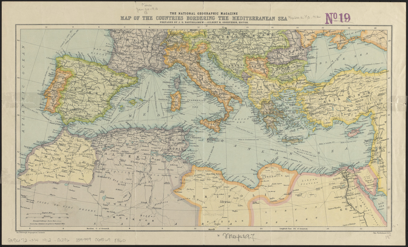
The National Geographic magazine map of the countries bordering the Mediterranean Sea
The National Geographic magazine map of the countries bordering the Mediterranean Sea
×
Item Information
Title:
The National Geographic magazine map of the countries bordering the Mediterranean Sea
Title (alt.):
Map of the countries bordering the Mediterranean Sea
Cartographer:
Bartholomew, J. G. (John George), 1860-1920
Editor:
Grosvenor, Gilbert Hovey, 1875-1966
Publisher:
National Geographic Society (U.S.)
Publisher:
Edinburgh Geographical Institute
Publisher:
John Bartholomew & Co.
Name on Item:
prepared by J.G. Bartholomew ; Gilbert H. Grosvenor, editor
Date:
[1912]
Format:
Maps/Atlases
Location:
Boston Public Library
Norman B. Leventhal Map & Education Center
Collection (local):
Norman B. Leventhal Map & Education Center Collection
Subjects:
Mediterranean Region--Maps
Places:
Turkey
>
Mediterranean region
(region)
Extent:
1 map : color ; 24 x 45 cm
Permalink:
https://ark.digitalcommonwealth.org/ark:/50959/4m90fp53q
Terms of Use:
No known copyright restrictions.
No known restrictions on use.
Publisher:
[Washington, D.C.] : [National Geographic Society]
Scale:
Scale approximately 1:10,000,000
Language:
English
Notes:
Relief shown by contours.
In lower left margin: The Edinburgh Geographical Institute.
In lower right margin: John Bartholomew & Co.
Supplement to the January 1912, issue of the National Geographic magazine.
Notes (date):
This date is inferred.
Identifier:
06_01_012681
Call #:
G5672.M4 1912 .B296
Barcode:
39999065698860
show more...
View MODS XML
More Like This
A map of those countries in which the apostles travelled : in ...
Navigation à vapeur dans le bassin de la Méditerranée et ...
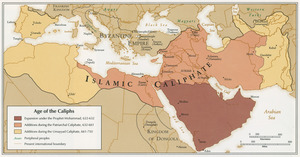
Age of the Caliphs
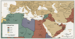
Colonial Past
Find More Like This >>
Tools
Share
Facebook
Pinterest
X
Reddit
Tumblr
Email
Copy link
Add to Folder
Questions/Comments
Cite This Item
IIIF Manifest
Downloads
Primary (full resolution, uncompressed)
(TIF, 81.9 MB)
Large (full resolution)
(JPEG, 6.88 MB)
Medium
(JPEG, 503 KB)
GeoTIFF (georeferenced)
(TIF, 104 MB)