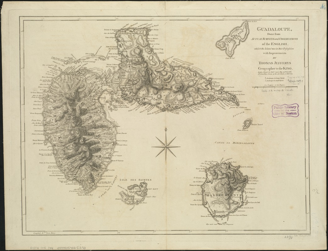
Relief shown by hachures; depths shown by soundings.
Shows towns, forested areas, anchorages, shoals, churches, forts and batteries, etc.
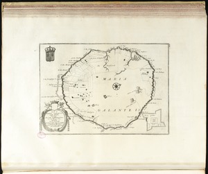
Includes adjoining islands of La Desirade, Isles de la Petite Terre, Isles des Saintes and Marie-Galante.
"Printed for Robt. Sayer, Map and Printseller, no. 53 in Fleet Street, as the Act directs 20 Feby. 1775."
Prime meridian: Ferro.
Appears in the author's West-India atlas. London : Robert Sayer and John Bennett, 1783 [i.e. 1788].
Cataloging, conservation, and digitization made possible in part by The National Endowment for the Humanities: Exploring the human endeavor.