Skip to search
Skip to main content
Digital Commonwealth
Sign Up / Log In
Search for
Search
Search
Search
Basic
Advanced
Explore
Map
Collections
Institutions
Formats
For Educators
Primary Source Sets
Lesson Plans
Using Primary Sources
Searching Digital Commonwealth
For Institutions
Join Digital Commonwealth
Conferences, Trainings, & Events
How to Contribute Collections
Digitization Services
Board & Committees
Frequently Asked Questions
About
About Digital Commonwealth
News & Announcements
Copyright & Terms of Use
Harmful Content Statement
Partners
API
Contact Us
Boston Public Library
Norman B. Leventhal Map & Education Center Collection
/
American Revolutionary War-Era Maps (Collection of Distinction)
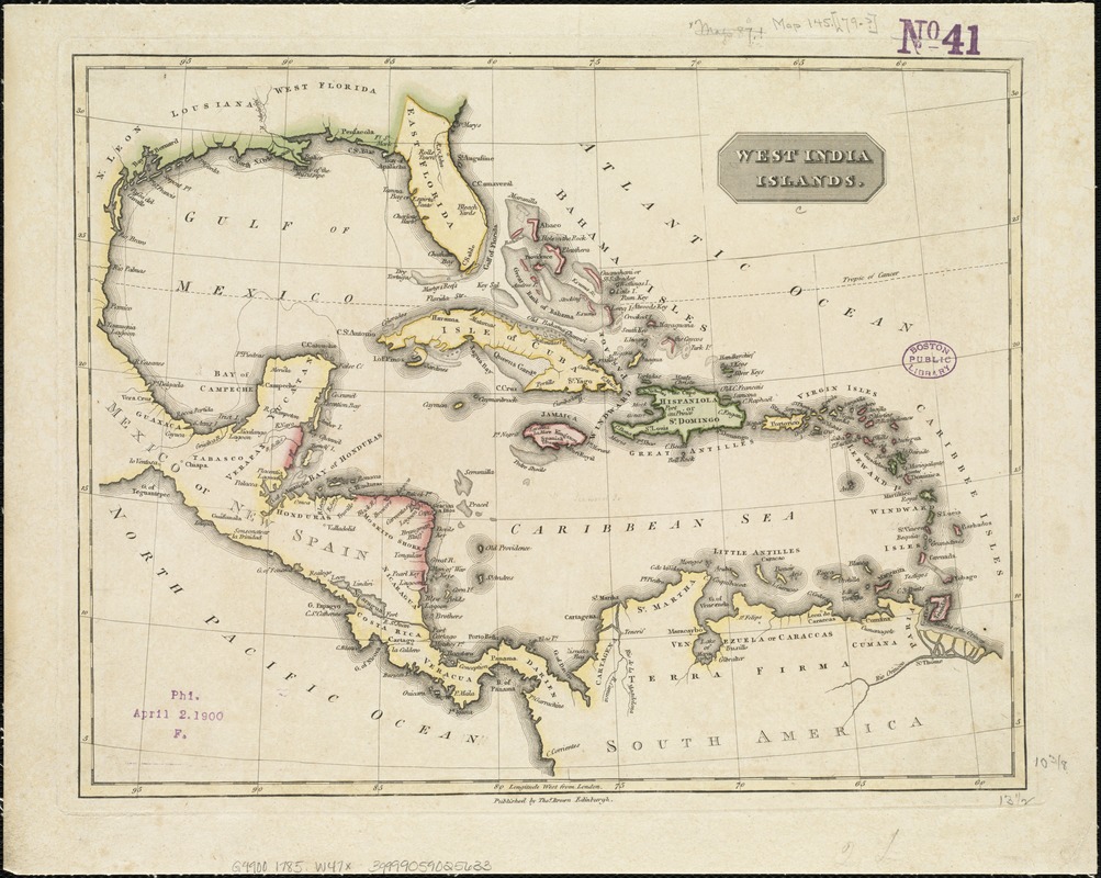
West India islands
West India islands
×
Item Information
Title:
West India islands
Date:
[1785?]
Format:
Maps/Atlases
Location:
Boston Public Library
Norman B. Leventhal Map & Education Center
Collection (local):
Norman B. Leventhal Map & Education Center Collection
Subjects:
West Indies--Maps
Places:
West Indies
Extent:
1 map : col. ; 27 x 35 cm.
Permalink:
https://ark.digitalcommonwealth.org/ark:/50959/6t053s02c
Terms of Use:
No known copyright restrictions.
No known restrictions on use.
Publisher:
Edingburgh : Thomas Brown
Scale:
Scale not given.
Language:
English
Notes:
Longitude west from London.
Published between 1785 and 1820.
Cataloging, conservation, and digitization made possible in part by The National Endowment for the Humanities: Exploring the human endeavor.
Identifier:
06_01_006434
Call #:
G4900 1785 .W47x
Barcode:
39999059025633
show more...
View MODS XML
More Like This
Antilles ou Indes Occidentales
Case's map of the United States, the British provinces, Mexico, ...
Chart of the West Indies and Spanish Dominions in North America
A chart of the West Indies, from the latest marine journals and ...
Find More Like This >>
Tools
Share
Facebook
Pinterest
X
Reddit
Tumblr
Email
Copy link
Add to Folder
Questions/Comments
Cite This Item
IIIF Manifest
Downloads
Primary (full resolution, uncompressed)
(TIF, 127 MB)
Large (full resolution)
(JPEG, 10.7 MB)
Medium
(JPEG, 283 KB)
GeoTIFF (georeferenced)
(TIF, 172 MB)
We'd love your feedback!
×
Would you be interested in taking a short survey about Digital Commonwealth?