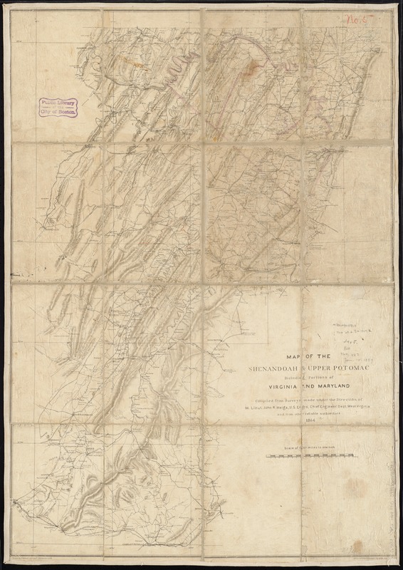
compiled from surveys made under the direction of 1st. Lieut. John R. Meigs, U.S. Engrs., Chief Engineer, Dept. West Virginia and from other reliable authorities ; drawn by P. Witzel, Asst. Engr.
Relief shown by shading.
General map extending from Charlottesville north to the Maryland-Pennsylvania boundary and showing roads, railroads, towns, rivers, houses and names of residents, and relief by shading.