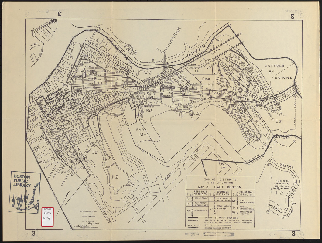
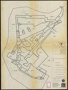
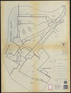
This map, adopted by the Commission 15 August 1962, shows zoning districts and limited parking district boundaries for Boston's East Boston neighborhood. Also indicates uses within the area (residential by type, business by type, and industrial by type). Includes names of streets, beaches, and other features.