Skip to search
Skip to main content
Digital Commonwealth
Sign Up / Log In
Search for
Search
Search
Search
Basic
Advanced
Explore
Map
Collections
Institutions
Formats
For Educators
Primary Source Sets
Lesson Plans
Using Primary Sources
Searching Digital Commonwealth
For Institutions
Join Digital Commonwealth
Conferences, Trainings, & Events
How to Contribute Collections
Digitization Services
Board & Committees
Frequently Asked Questions
About
About Digital Commonwealth
News & Announcements
Copyright & Terms of Use
Harmful Content Statement
Partners
API
Contact Us
Boston Public Library
Norman B. Leventhal Map & Education Center Collection
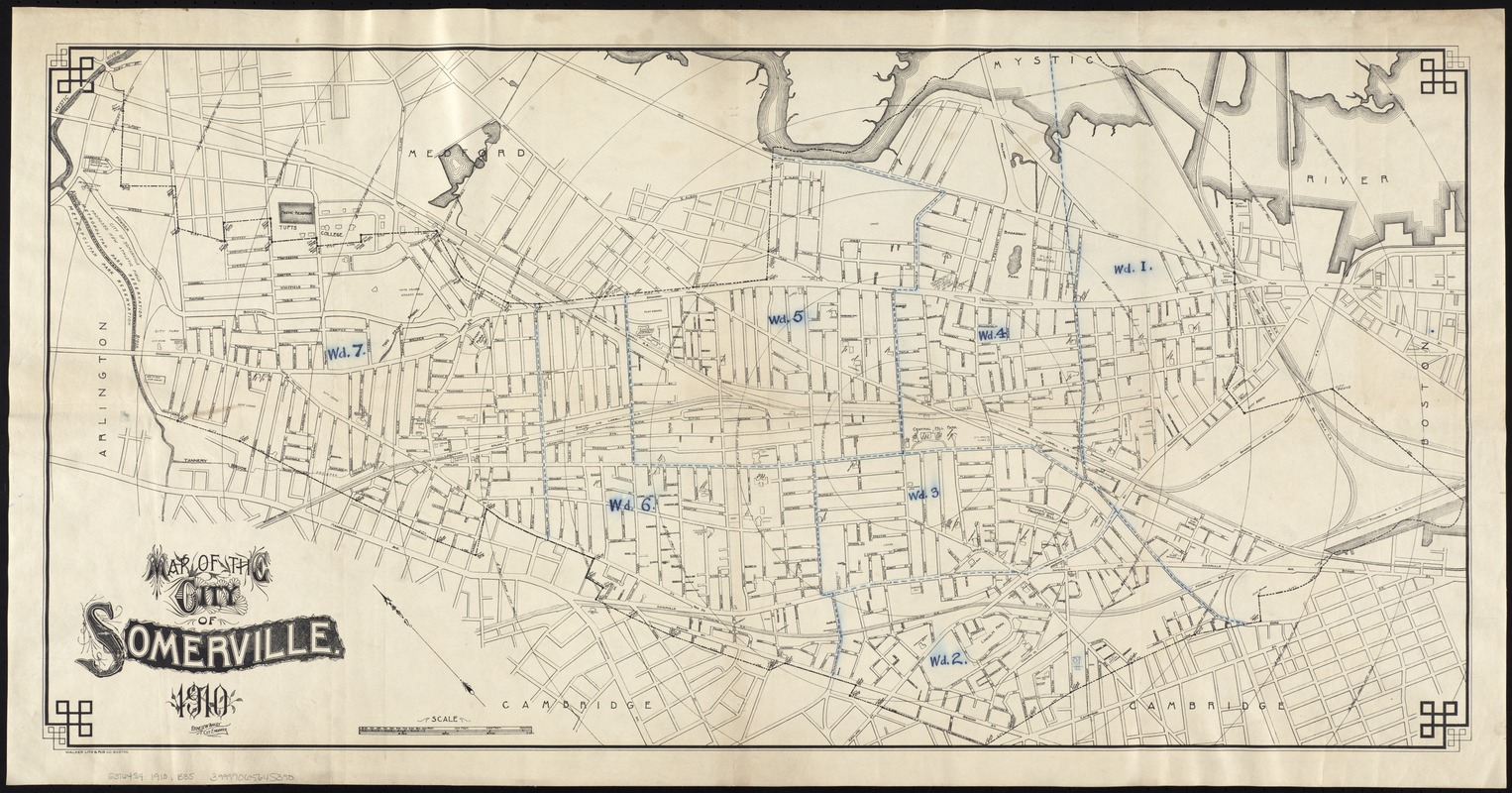
Map of the City of Somerville
Map of the City of Somerville
×
Item Information
Title:
Map of the City of Somerville
Creator:
Bailey, Ernest W.
Name on Item:
Ernest W. Bailey, City Engineer.
Date:
1910
Format:
Maps/Atlases
Location:
Boston Public Library
Norman B. Leventhal Map & Education Center
Collection (local):
Norman B. Leventhal Map & Education Center Collection
Subjects:
Somerville (Mass.)--Maps
Massachusetts--Maps
Places:
Massachusetts
>
Middlesex (county)
>
Somerville
Extent:
1 map ; 46 x 93 cm.
Permalink:
https://ark.digitalcommonwealth.org/ark:/50959/8336h3209
Terms of Use:
No known copyright restrictions.
No known restrictions on use.
Publisher:
Boston, Mass : Walker Lith. & Pub.
Scale:
Scale [ca. 1:7,120].
Language:
English
Notes:
Oriented with north toward the upper left.
Includes radial distances at 1/4-mile intervals from City Hall.
Identifier:
06_01_007618
Call #:
G3764.S4 1910 .B35
Barcode:
39999065645390
show more...
View MODS XML
More Like This
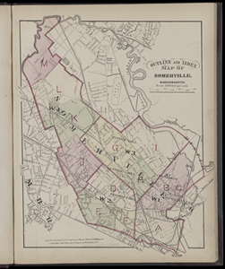
Atlas of the city of Somerville, Massachusetts : from actual ...
Atlas of the city of Somerville, Massachusetts : from actual ...
Atlas of the city of Somerville, Massachusetts : from actual ...
Atlas of the city of Somerville, Massachusetts : from actual ...
Find More Like This >>
Tools
Share
Facebook
Pinterest
X
Reddit
Tumblr
Email
Copy link
Add to Folder
Questions/Comments
Cite This Item
IIIF Manifest
Downloads
Primary (full resolution, uncompressed)
(TIF, 128 MB)
Large (full resolution)
(JPEG, 10.7 MB)
Medium
(JPEG, 457 KB)
GeoTIFF (georeferenced)
(TIF, 183 MB)