Skip to search
Skip to main content
Digital Commonwealth
Sign Up / Log In
Search for
Search
Search
Search
Basic
Advanced
Explore
Map
Collections
Institutions
Formats
For Educators
Primary Source Sets
Lesson Plans
Using Primary Sources
Searching Digital Commonwealth
For Institutions
Join Digital Commonwealth
Conferences, Trainings, & Events
How to Contribute Collections
Digitization Services
Board & Committees
Frequently Asked Questions
About
About Digital Commonwealth
News & Announcements
Copyright & Terms of Use
Harmful Content Statement
Partners
API
Contact Us
Boston Public Library
Norman B. Leventhal Map & Education Center Collection
/
Urban Maps (Collection of Distinction)
/
Boston and New England Maps (Collection of Distinction)
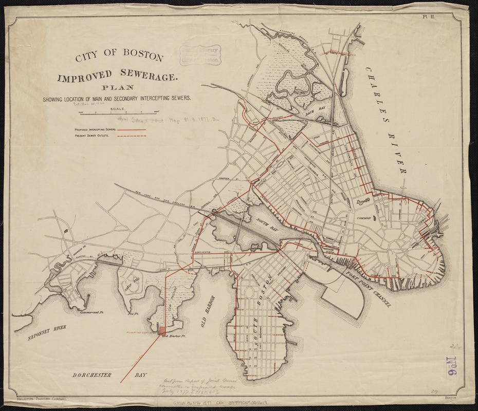
City of Boston improved sewerage : plan showing location of main and secondary intercepting sewers
City of Boston improved sewerage
×
Item Information
Title:
City of Boston improved sewerage : plan showing location of main and secondary intercepting sewers
Date:
[1877]
Format:
Maps/Atlases
Location:
Boston Public Library
Norman B. Leventhal Map & Education Center
Collection (local):
Norman B. Leventhal Map & Education Center Collection
Subjects:
Sewerage--Massachusetts--Boston
Boston (Mass.)--Sanitary affairs--Maps
Places:
Massachusetts
>
Suffolk (county)
>
Boston
Extent:
1 map : col. ; 52 x 62 cm.
Permalink:
https://ark.digitalcommonwealth.org/ark:/50959/9s161h908
Terms of Use:
No known copyright restrictions.
No known restrictions on use.
Publisher:
Boston : s.n.
Scale:
Scale [ca. 1:15,000].
Language:
English
Notes:
Pl. II.
Boston Public Library copy cut from the Report of the Joint Special Committee on Improved Sewerage of July 1877.
Notes (date):
This date is inferred.
Identifier:
06_01_004283
Call #:
G3764.B6N46 1877 .C5x
Barcode:
39999059005619
show more...
View MODS XML
More Like This
City of Boston improved sewerage : plan showing region drained by, ...
Boston main drainage : plan showing main and branch intercepting ...
Map showing the sources of some of the offensive odors perceived ...
Plan of wards 6, 7, 8, 9, 10 and 12, Boston : showing sewers and ...
Find More Like This >>
Tools
Share
Facebook
Pinterest
X
Reddit
Tumblr
Email
Copy link
Add to Folder
Questions/Comments
Cite This Item
IIIF Manifest
Downloads
Primary (full resolution, uncompressed)
(TIF, 141 MB)
Large (full resolution)
(JPEG, 11.9 MB)
Medium
(JPEG, 241 KB)
GeoTIFF (georeferenced)
(TIF, 165 MB)