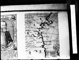
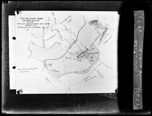
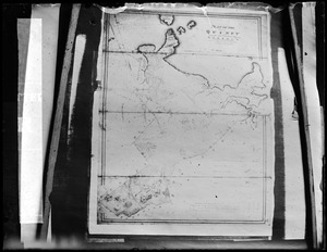
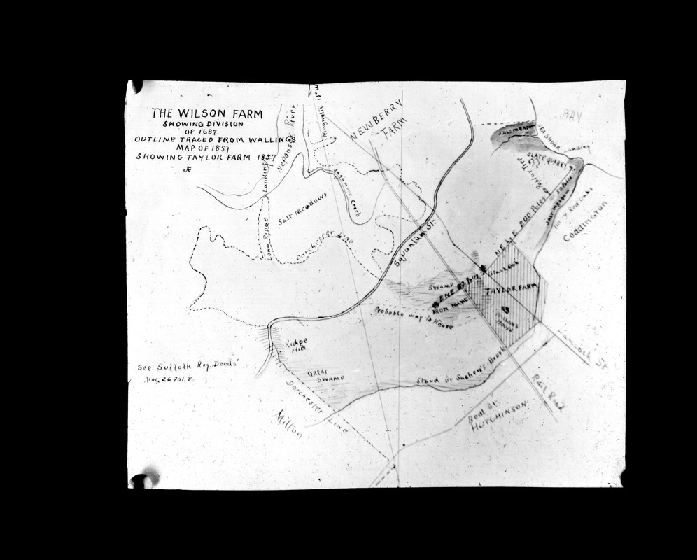
Division of Wilsons farm 1687
Item Information
- Title:
- Division of Wilsons farm 1687
- Description:
-
Plans and maps
- Photographer:
- Parker, Warren S.
- Date:
-
[ca. 1870–1930]
- Format:
-
Photographs
- Genre:
-
Lantern slides
- Location:
-
Thomas Crane Public Library
The Quincy Room
Lantern Slides 2301-2350. Missing 2311, 2315, 2325, 2328, 2330-2331, 2341-42 (shelf locator) - Collection (local):
-
Parker Collection
- Subjects:
-
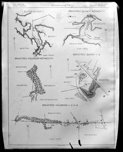
Maps
- Places:
-
MassachusettsNorfolk (county)Quincy
- Extent:
- 1 photograph : transparency on glass ; 9 x 11 cm (lantern slide format)
- Permalink:
- https://ark.digitalcommonwealth.org/ark:/50959/ff365c52c
- Terms of Use:
-
No known copyright restrictions.
This work is licensed for use under a Creative Commons Attribution No Derivatives License (CC BY-ND).