Skip to search
Skip to main content
Digital Commonwealth
Sign Up / Log In
Search for
Search
Search
Search
Basic
Advanced
Explore
Map
Collections
Institutions
Formats
For Educators
Primary Source Sets
Lesson Plans
Using Primary Sources
Searching Digital Commonwealth
For Institutions
Join Digital Commonwealth
Conferences, Trainings, & Events
How to Contribute Collections
Digitization Services
Board & Committees
Frequently Asked Questions
About
About Digital Commonwealth
News & Announcements
Copyright & Terms of Use
Harmful Content Statement
Partners
API
Contact Us
Boston Public Library
Norman B. Leventhal Map & Education Center Collection
/
Urban Maps (Collection of Distinction)
/
Boston and New England Maps (Collection of Distinction)
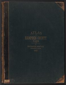
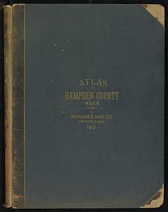
Atlas of Hampden Co., Massachusetts : from actual surveys
Read online
Item Information
Title:
Atlas of Hampden Co., Massachusetts : from actual surveys
Cartographer:
Beers, F. W. (Frederick W.)
Cartographer:
Sanford, G. P. (George P.)
Name on Item:
by and under the direction of F.W. Beers ; assisted by Geo. P. Sanford and others
Date:
1870
Format:
Maps/Atlases
Books
Location:
Boston Public Library
Norman B. Leventhal Map & Education Center
Collection (local):
Norman B. Leventhal Map & Education Center Collection
Subjects:
Hampden County (Mass.)--Maps
Landowners--Massachusetts--Hampden County--Maps
Real property--Massachusetts--Hampden County--Maps
Places:
Massachusetts
>
Hampden (county)
Extent:
1 atlas (52 unnumbered leaves of plates (some folded)) : color maps ; 41 cm
Permalink:
https://ark.digitalcommonwealth.org/ark:/50959/fn109m314
Terms of Use:
No known copyright restrictions.
No known restrictions on use.
Publisher:
New York : Beers, Ellis & Soule
Scale:
Scales differ
Language:
English
Notes:
Relief shown by hachures.
Includes table of distances and 3 leaves of illustrations.
Identifier:
06_01_018455
Call #:
G1233.H3 B44 1870
Barcode:
39999059010361
show more...
View MODS XML
More Like This
New topographical atlas of the county of Hampden, Massachusetts : ...
Richards standard atlas of Hampden County, Massachusetts : based ...
New topographical atlas of the county of Hampden, Massachusetts
Richards standard atlas of Hampden County, Massachusetts
Find More Like This >>
Tools
Share
Facebook
Pinterest
X
Reddit
Tumblr
Email
Copy link
Add to Folder
Questions/Comments
Cite This Item
IIIF Manifest
Downloads
Primary (full resolution, uncompressed)
(TIF, multi-file ZIP, 5.71 GB)
Large (full resolution)
(JPEG, multi-file ZIP, 51.7 MB)
Medium
(JPEG, multi-file ZIP, 6.03 MB)
We'd love your feedback!
×
Would you be interested in taking a short survey about Digital Commonwealth?