Skip to search
Skip to main content
Digital Commonwealth
Sign Up / Log In
Search for
Search
Search
Search
Basic
Advanced
Explore
Map
Collections
Institutions
Formats
For Educators
Primary Source Sets
Lesson Plans
Using Primary Sources
Searching Digital Commonwealth
For Institutions
Join Digital Commonwealth
Conferences, Trainings, & Events
How to Contribute Collections
Digitization Services
Board & Committees
Frequently Asked Questions
About
About Digital Commonwealth
News & Announcements
Copyright & Terms of Use
Harmful Content Statement
Partners
API
Contact Us
Boston Public Library
Norman B. Leventhal Map & Education Center Collection
/
Applied Geographics, Inc. Records
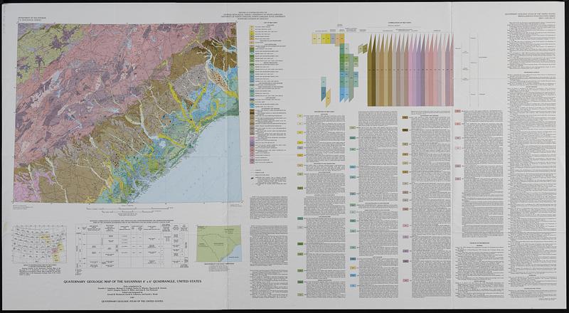
Quaternary geologic map of the Savannah 4° x 6° quadrangle, United States
Quaternary geologic map of the Savannah 4° x 6° quadrangle, United States
×
Item Information
Title:
Quaternary geologic map of the Savannah 4° x 6° quadrangle, United States
Cartographer:
Geological Survey (U.S.)
Cartographer:
Colquhoun, Donald J.
Cartographer:
Richmond, Gerald Martin, 1914-
Cartographer:
Fullerton, David S.
Cartographer:
Weide, David L.
Contributor:
Georgia Geologic Survey
Name on Item:
Department of the Interior, U.S. Geological Survey ; state compilations by Donald J. Colquhoun [and six others] ; edited and integrated by Gerald M. Richmond, David S. Fullerton, and David L. Weide
Date:
1987
Format:
Maps/Atlases
Genre:
Geological maps
Location:
Boston Public Library
Norman B. Leventhal Map & Education Center
Collection (local):
Applied Geographics, Inc. Records
Subjects:
Georgia--Maps
North Carolina--Maps
South Carolina--Maps
Geology, Stratigraphic--Quaternary--Maps
Geology--Georgia--Maps
Geology--North Carolina--Maps
Geology--South Carolina--Maps
Places:
Georgia
North Carolina
South Carolina
Extent:
1 map : col. ; 44 x 56 cm., on sheet 76 x 140 cm., folded in envelope 30 x 24 cm.
Permalink:
https://ark.digitalcommonwealth.org/ark:/50959/hm510v708
Terms of Use:
No known copyright restrictions.
No known restrictions on use.
Publisher:
Reston, Va. : U.S. Geological Survey
Scale:
Scale 1:1,000,000
Projection:
Lambert conformal conic proj.
Language:
English
Notes:
Relief shown by contours and spot heights.
Depths shown by isolines.
Includes text, index map, table, ancillary map, and bibliographies.
Identifier:
06_01_019109
Call #:
AppGeo Folder 35 no.5
show more...
View MODS XML
More Like This
Carte de la Caroline et Georgie. : Pour servir à l'Histoire ...
Carte de la Caroline et Georgie. : Pour servir à l'Histoire ...
A new & accurate map of the provinces of North & South Carolina ...
Physiographical map of North Carolina
Find More Like This >>
Tools
Share
Facebook
Pinterest
X
Reddit
Tumblr
Email
Copy link
Add to Folder
Questions/Comments
Cite This Item
IIIF Manifest
Downloads
Primary (full resolution, uncompressed)
(TIF, 568 MB)
Large (full resolution)
(JPEG, 47.7 MB)
Medium
(JPEG, 83.5 KB)