Skip to search
Skip to main content
Digital Commonwealth
Sign Up / Log In
Search for
Search
Search
Search
Basic
Advanced
Explore
Map
Collections
Institutions
Formats
For Educators
Primary Source Sets
Lesson Plans
Using Primary Sources
Searching Digital Commonwealth
For Institutions
Join Digital Commonwealth
Conferences, Trainings, & Events
How to Contribute Collections
Digitization Services
Board & Committees
Frequently Asked Questions
About
About Digital Commonwealth
News & Announcements
Copyright & Terms of Use
Harmful Content Statement
Partners
API
Contact Us
Boston Public Library
Norman B. Leventhal Map & Education Center Collection
/
David Judkins Weaver Papers
Pictomap
Pictomap
×
Item Information
Title:
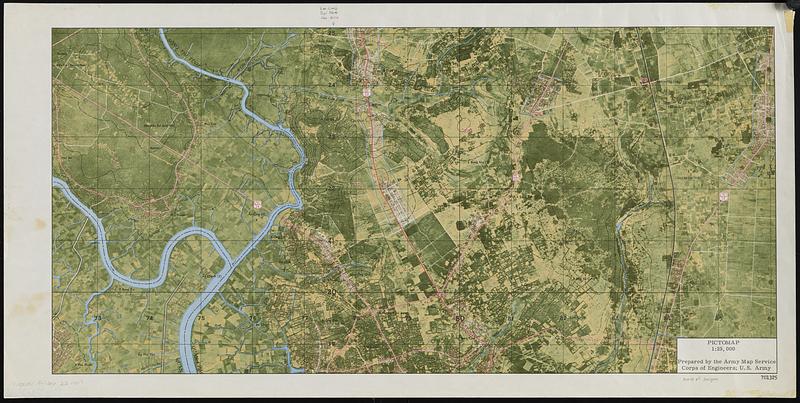
Pictomap
Publisher:
United States. Army Map Service
Date:
[ca. 1970–1979]
Format:
Maps/Atlases
Genre:
Remote-sensing maps
Location:
Boston Public Library
Norman B. Leventhal Map & Education Center
Collection (local):
David Judkins Weaver Papers
Subjects:
Thủ Dầu Một (Vietnam)--Maps
Places:
Viet Nam
>
Tỉnh Bình Dương
(province)
>
Thu Dầu Môt
Extent:
1 map : color ; 27 x 56 cm
Permalink:
https://ark.digitalcommonwealth.org/ark:/50959/jh348447j
Terms of Use:
No known copyright restrictions.
No known restrictions on use.
Publisher:
United States : Army Map Service
Language:
English
Identifier:
06_01_018832
Call #:
Weaver folder 22 no. 1
show more...
View MODS XML
More Like This
The 1976 proposed regional open space plan
Airbrush base for the Pelorus Linea region of Europa
Aitoff's equal area projection of the sphere
Antietam
Find More Like This >>
Tools
Share
Facebook
Pinterest
X
Reddit
Tumblr
Email
Copy link
Add to Folder
Questions/Comments
Cite This Item
IIIF Manifest
Downloads
Primary (full resolution, uncompressed)
(TIF, 219 MB)
Large (full resolution)
(JPEG, 18.4 MB)
Medium
(JPEG, 104 KB)