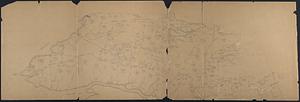
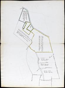
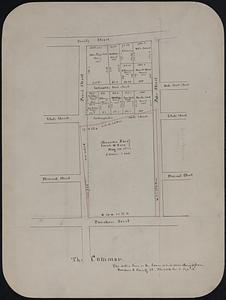
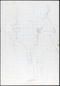
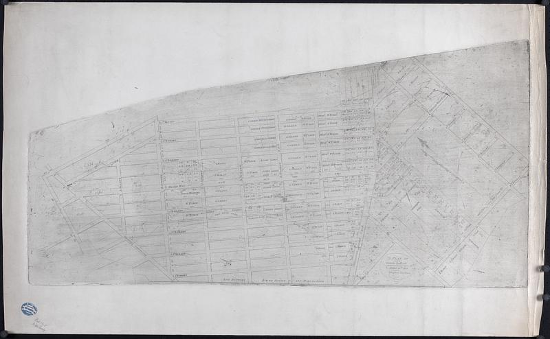
A Plan of South Boston
Item Information
- Title:
- A Plan of South Boston
- Description:
-
Street plan of South Boston including names of property owners and lot sizes. Surveyed by Stephan Bedlam. Poor printing by degraded plate
- Name on Item:
-
Stephen Badlam, surveyor
- Date:
-
1809
- Format:
-
Maps/Atlases
- Genre:
-
Real property--Maps
- Location:
-
New Bedford Free Public Library
Art Room. Cabinet: MC04, Drawer: DR08 (shelf locator) - Collection (local):
-
Map and Chart Collection
- Subjects:
-
Landowners
- Places:
-
MassachusettsSuffolk (county)Boston
- Extent:
- 1 map : print ; 23.5 x 38 in.
- Permalink:
- https://ark.digitalcommonwealth.org/ark:/50959/m326pr56q
- Terms of Use:
-
Rights status not evaluated
This work is licensed for use under a Creative Commons Attribution Non-Commercial No Derivatives License (CC BY-NC-ND).