Skip to search
Skip to main content
Digital Commonwealth
Sign Up / Log In
Search for
Search
Search
Search
Basic
Advanced
Explore
Map
Collections
Institutions
Formats
For Educators
Primary Source Sets
Lesson Plans
Using Primary Sources
Searching Digital Commonwealth
For Institutions
Join Digital Commonwealth
Conferences, Trainings, & Events
How to Contribute Collections
Digitization Services
Board & Committees
Frequently Asked Questions
About
About Digital Commonwealth
News & Announcements
Copyright & Terms of Use
Harmful Content Statement
Partners
API
Contact Us
Boston Public Library
Norman B. Leventhal Map & Education Center Collection
/
Urban Maps (Collection of Distinction)
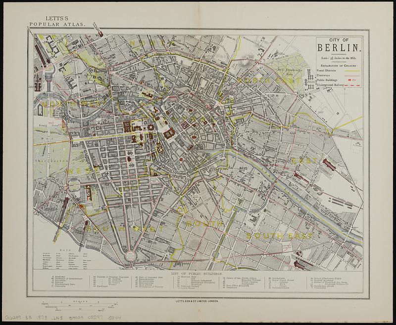
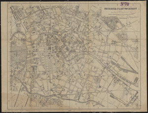
City of Berlin
City of Berlin
×
Item Information
Title:
City of Berlin
Publisher:
Letts, Son & Co.
Date:
[1878]
Format:
Maps/Atlases
Location:
Boston Public Library
Norman B. Leventhal Map & Education Center
Collection (local):
Norman B. Leventhal Map & Education Center Collection
Subjects:
Berlin (Germany)--Maps
Places:
Germany
>
Berlin
>
Berlin (Berlin state)
Extent:
1 map : color ; 29 x 39 cm
Permalink:
https://ark.digitalcommonwealth.org/ark:/50959/p267cv527
Terms of Use:
No known copyright restrictions.
No known restrictions on use.
Publisher:
London : Letts, Son & Co.
Scale:
Scale 1:19,008. 3 1/3 inches to the mile
Language:
English
German
Notes:
Includes references to public buildings.
"Letts's popular atlas."
Notes (date):
This date is inferred.
Notes (language):
Map in German. Title and other text in English.
Identifier:
06_01_019132
Call #:
G6299.B3 1878 .L48
Barcode:
39999085970844
show more...
View MODS XML
More Like This
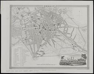
Berlin
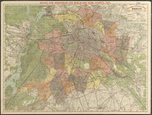
Berlin mit den 20 verwaltungsbezirken
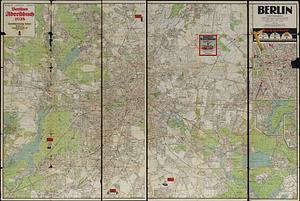
Grosser verkehrs-plan Berlin und seine vororte
Neuester plan von Berlin
Find More Like This >>
Tools
Share
Facebook
Pinterest
X
Reddit
Tumblr
Email
Copy link
Add to Folder
Questions/Comments
Cite This Item
IIIF Manifest
Downloads
Primary (full resolution, uncompressed)
(TIF, 87.4 MB)
Large (full resolution)
(JPEG, 7.34 MB)
Medium
(JPEG, 147 KB)