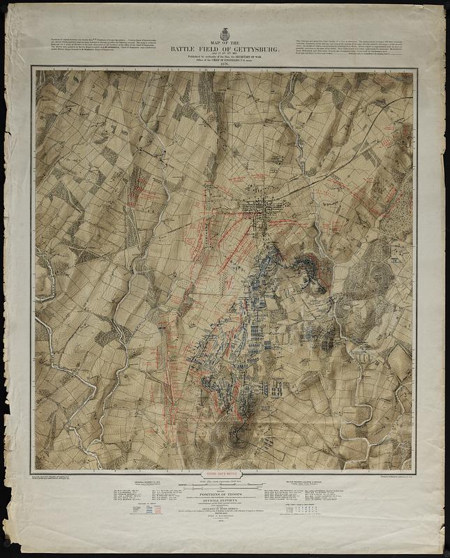
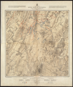
Published by authority of the Hon. the Secretary of War, office of the Chief of Engineers, U.S. Army, 1876 ; Positions of troops compiled and added for the Government by John B. Bachelder
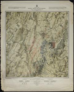
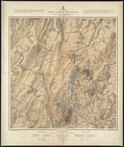
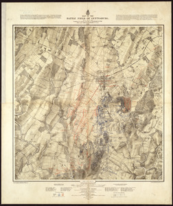
Detailed topographic maps of the Gettysburg battlefield.
Drainage, vegetation, roads, railroads, fences, houses with names of residents, and a detailed plan of the town of Gettysburg is shown.
Topography engraved by Julius Bien
Positions and lettering by Louis E. Neuman
Printed by Endicott & Co.
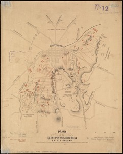
Lacking First day's battle.