Skip to search
Skip to main content
Digital Commonwealth
Sign Up / Log In
Search for
Search
Search
Search
Basic
Advanced
Explore
Map
Collections
Institutions
Formats
For Educators
Primary Source Sets
Lesson Plans
Using Primary Sources
Searching Digital Commonwealth
For Institutions
Join Digital Commonwealth
Conferences, Trainings, & Events
How to Contribute Collections
Digitization Services
Board & Committees
Frequently Asked Questions
About
About Digital Commonwealth
News & Announcements
Copyright & Terms of Use
Harmful Content Statement
Partners
API
Contact Us
Boston Public Library
Norman B. Leventhal Map & Education Center Collection
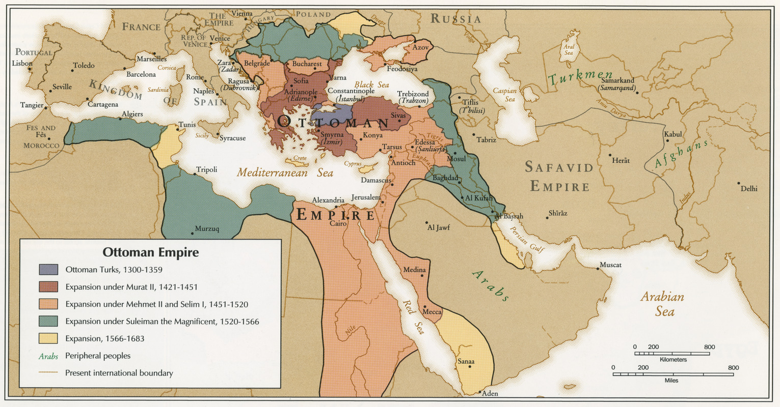
Ottoman Empire
Ottoman Empire
×
Item Information
Title:
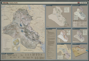
Ottoman Empire
Cartographer:
United States. Central Intelligence Agency
Date:
1993
Format:
Maps/Atlases
Location:
Boston Public Library
Central Library in Copley Square
Collection (local):
Government Documents
Subjects:
Iraq--Maps
Mediterranean Region--Maps
Middle East--Historical geography--Maps
Places:
Middle East
(area)
Mediterranean Sea
Extent:
1 map : color ; 12 x 24 cm
Permalink:
https://ark.digitalcommonwealth.org/ark:/50959/q524n617h
Terms of Use:
No known copyright restrictions.
No known restrictions on use.
Publisher:
[Washington, D.C.?] : Central Intelligence Agency
Scale:
Scale approximately 1:34,848,000
Language:
English
Notes:
Published in U.S. Central Intelligence Agency's ''Atlas of the Middle East'' (Washington, D.C., January 1993).
Identifier:
06_01_000146
Call #:
BPL Gov. Docs. Dept. PREX 3.10/4:M 58/26
Barcode:
37777009752502
show more...
View MODS XML
More Like This
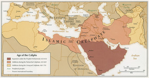
Age of the Caliphs
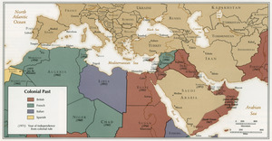
Colonial Past
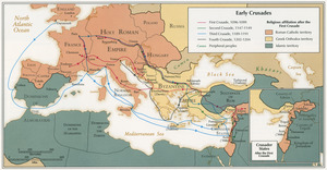
Early Crusades
Iraq country profile
Find More Like This >>
Tools
Share
Facebook
Pinterest
X
Reddit
Tumblr
Email
Copy link
Add to Folder
Questions/Comments
Cite This Item
IIIF Manifest
Downloads
Primary (full resolution, uncompressed)
(TIF, 47.3 MB)
Large (full resolution)
(JPEG, 3.97 MB)
Medium
(JPEG, 533 KB)
GeoTIFF (georeferenced)
(TIF, 53.9 MB)