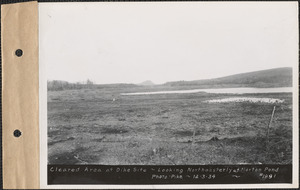
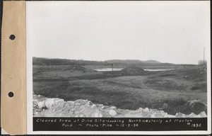
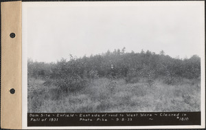
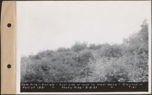
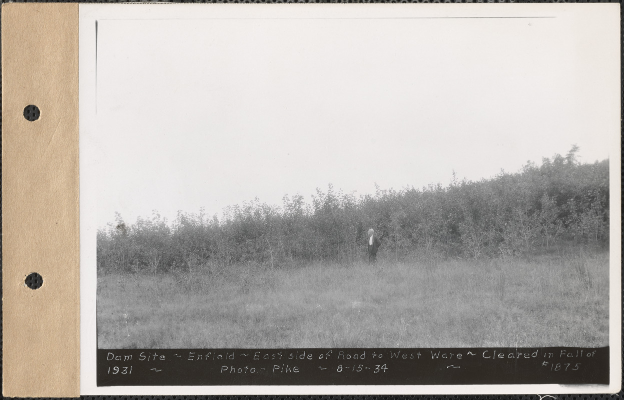
Dam site, east side of road to West Ware, cleared in fall of 1931, Enfield, Mass., Aug. 15, 1934 : Parcel no. 208-14, property of S. Baraniuk
Item Information
- Title:
- Dam site, east side of road to West Ware, cleared in fall of 1931, Enfield, Mass., Aug. 15, 1934 : Parcel no. 208-14, property of S. Baraniuk
- Sponsor:
- Massachusetts. Metropolitan District Water Supply Commission
- Photographer:
- Pike, Stuart D., 1910-1978
- Date:
-
August 15, 1934
- Format:
-
Photographs
- Genre:
-
Photographic prints
- Location:
- Massachusetts Archives
- Collection (local):
-
Massachusetts. Executive Office of Energy and Environmental Affairs, Metropolitan District Water Supply Commission, Quabbin Reservoir, Photographs of Real Estate Takings
- Subjects:
-
waterworks
reservoirs (water distribution structures)
real estate
pre-construction sites
Clearing of land
- Places:
-
MassachusettsHampshire (county)Enfield (area)
- Extent:
- 1 photograph : print ; sheet 13 x 18 cm (5 x 7 format)
- Permalink:
- https://ark.digitalcommonwealth.org/ark:/50959/qr46tp71q
- Terms of Use:
-
 No Copyright - United States
No known copyright restrictions.
No known restrictions on use.