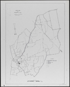
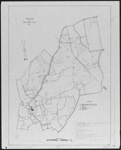
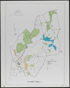
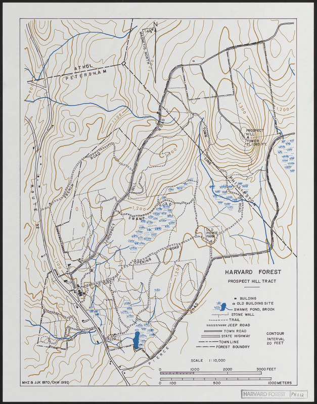
Prospect Hill 1992 Base Map with Trails, roads, stonewalls, cellar holes, buildings
Item Information
- Title:
- Prospect Hill 1992 Base Map with Trails, roads, stonewalls, cellar holes, buildings
- Description:
-
Harvard Forest Prospect Hill Tract 1992 with Trails. roads. stonewalls. cellar holes. Buildings - update of 1970 map
- Creator:
- Zimmermann, Martin H. (Martin Huldrych), 1926-1984
- Creator:
- Karnig, Jack J.
- Name on Item:
-
MHZ & JJK ; CHW
- Date:
-
1992
- Format:
-
Maps/Atlases
- Genre:
-
Topographic maps
- Location:
-
Harvard University
Harvard Forest Archives
Stack # 1; Drawer # 1 (shelf locator) - Collection (local):
-
The Harvard Forest Map Collection
- Subjects:
-
Boundaries
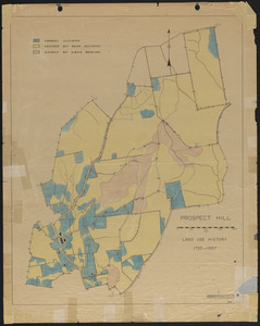
Land use
- Places:
-
MassachusettsWorcester (county)Prospect Hill (peak)
MassachusettsWorcester (county)Petersham
Prospect Hill Tract
- Extent:
- 1 map : black, white, blue, and brown ; 11 x 14 in.
- Permalink:
- https://ark.digitalcommonwealth.org/ark:/50959/qv33t020s
- Terms of Use:
-
Copyright (c) President and Fellows of Harvard College, Harvard Forest Archives
This work is licensed for use under a Creative Commons Attribution Non-Commercial No Derivatives License (CC BY-NC-ND).