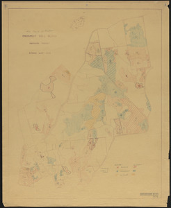
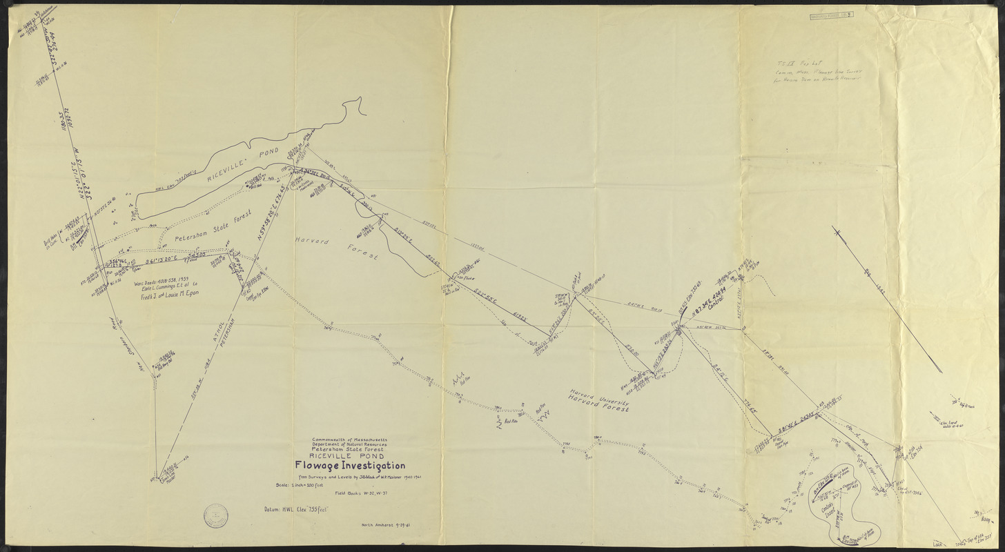
Riceville Pond Flowage Investigation
Item Information
- Title:
- Riceville Pond Flowage Investigation
- Description:
-
Riceville Pond Flowage Investigation
- Creator:
- Slack, T. B.
- Creator:
- Maisner, W. P.
- Name on Item:
-
From surveys and levels by T. B. Slack and W. P. Maisner 1942-1961
- Date:
-
September 29, 1961
- Format:
-
Maps/Atlases
- Location:
-
Harvard University
Harvard Forest Archives - Collection (local):
-
The Harvard Forest Map Collection
- Places:
-
MassachusettsWorcester (county)Petersham
- Extent:
- 1 map ; 29 x 53 in.
- Permalink:
- https://ark.digitalcommonwealth.org/ark:/50959/qv33t9935
- Terms of Use:
-
Copyright (c) President and Fellows of Harvard College, Harvard Forest Archives
This work is licensed for use under a Creative Commons Attribution Non-Commercial No Derivatives License (CC BY-NC-ND).