Sudbury then and now : settled, 1638, incorporated, 1639
Item Information
- Title:
- Sudbury then and now : settled, 1638, incorporated, 1639
- Description:
-
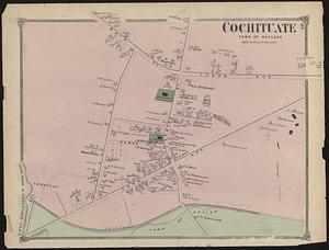
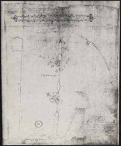
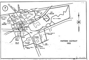
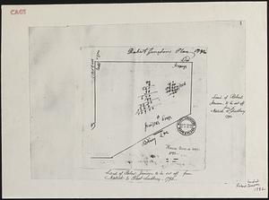
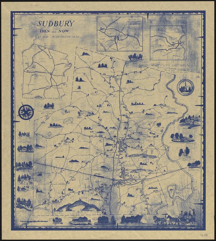
Blue print ink on a beige background. Includes fourteen images of town land marks. Reproduction of the original painting by Charles Converse Way, native of Sudbury Massachusetts in 1939. First insert map show the first roads in Sudbury (now Wayland center). Second insert map shows the north part of Sudbury from the Sudbury River boundary at Sherman Bridge Road to the west. Third insert map shows the 1794 map created by Mathias Mossman for the General Court. The large center map Sudbury was done in 1939. Neighborhoods and geographical spots are noted. Homeowners and businesses are shown. Also noted are some of the firsts that occurred in town like electric lighting or the telephone connection. Originally housed at the Guaranty First Trust Company at the Millage Village Shopping Center, in Sudbury.
- Surveyor:
- Mossman, Mattias, 1749-1819
- Date:
-
1939
- Format:
-
Maps/Atlases
- Location:
-
Wayland Free Public Library
1900-1949 (shelf locator) - Collection (local):
-
Wayland Historical Maps and Plans
- Series:
- 1900 Maps
- Subjects:
-
History
Way, Charles Converse, 1879-1965
- Places:
-
MassachusettsMiddlesex (county)Sudbury
- Extent:
- 1 map ; 50 x 44 cm
- Permalink:
- https://ark.digitalcommonwealth.org/ark:/50959/wd378f34w
- Terms of Use:
-
Rights status not evaluated.
This work is licensed for use under a Creative Commons Attribution Non-Commercial No Derivatives License (CC BY-NC-ND).