Skip to search
Skip to main content
Digital Commonwealth
Sign Up / Log In
Search for
Search
Search
Search
Basic
Advanced
Explore
Map
Collections
Institutions
Formats
For Educators
Primary Source Sets
Lesson Plans
Using Primary Sources
Searching Digital Commonwealth
For Institutions
Join Digital Commonwealth
Conferences, Trainings, & Events
How to Contribute Collections
Digitization Services
Board & Committees
Frequently Asked Questions
About
About Digital Commonwealth
News & Announcements
Copyright & Terms of Use
Harmful Content Statement
Partners
API
Contact Us
Boston Public Library
Norman B. Leventhal Map & Education Center Collection
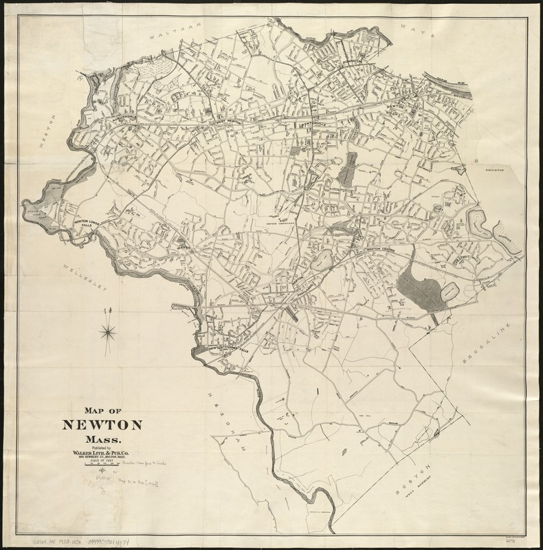
Map of Newton Mass
Map of Newton Mass
×
Item Information
Title:
Map of Newton Mass
Creator:
Walker Lith. & Pub. Co
Date:
[1920]
Format:
Maps/Atlases
Location:
Boston Public Library
Norman B. Leventhal Map & Education Center
Collection (local):
Norman B. Leventhal Map & Education Center Collection
Subjects:
Newton (Mass.)--Maps
Places:
Massachusetts
>
Middlesex (county)
>
Newton
Extent:
1 map ; 66 x 64 cm.
Permalink:
https://ark.digitalcommonwealth.org/ark:/50959/x059c980c
Terms of Use:
No known copyright restrictions.
No known restrictions on use.
Publisher:
Boston : Walker Lith. & Pub. Co.
Scale:
Scale 1:14,400.
Language:
English
Notes (date):
This date is inferred.
Identifier:
06_01_005414
Call #:
G3764.N5 1920 .W3x
Barcode:
39999059014074
show more...
View MODS XML
More Like This
Atlas of the city of Newton, Massachusetts : from actual surveys ...
Atlas of the city of Newton, Massachusetts : from actual surveys ...
Atlas of the city of Newton, Massachusetts
Atlas of the city of Newton, Massachusetts : compiled from actual ...
Find More Like This >>
Tools
Share
Facebook
Pinterest
X
Reddit
Tumblr
Email
Copy link
Add to Folder
Questions/Comments
Cite This Item
IIIF Manifest
Downloads
Primary (full resolution, uncompressed)
(TIF, 149 MB)
Large (full resolution)
(JPEG, 12.5 MB)
Medium
(JPEG, 229 KB)