Skip to search
Skip to main content
Skip to first result
Digital Commonwealth
Folders
Sign Up / Log In
Search for
Search
Search
Search
Basic
Advanced
Explore
Map
Collections
Institutions
Formats
For Educators
Primary Source Sets
Lesson Plans
Using Primary Sources
Searching Digital Commonwealth
For Institutions
Join Digital Commonwealth
Conferences, Trainings, & Events
How to Contribute Collections
Digitization Services
Board & Committees
Frequently Asked Questions
About
About Digital Commonwealth
News & Announcements
Copyright & Terms of Use
Harmful Content Statement
Partners
API
Contact Us
Search
Search Constraints
Start Over
Save Search
Your search:
More Like
commonwealth:00002p60x
✖
Remove constraint More Like: commonwealth:00002p60x
« Prev.
|
21
-
40
of
3,632
|
Next »
Sort
by relevance
relevance
title
date (asc)
date (desc)
recently added
Number of results to display per page
20
per page
per page
10
per page
20
per page
50
per page
100
per page
View results as:
List
list view
Maps
map view
Gallery
grid view
Search Results
21.
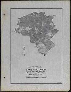
Land Utilization City of Newton
22.
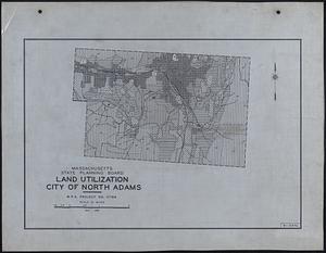
Land Utilization City of North Adams
23.
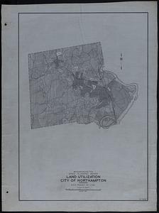
Land Utilization City of Northampton
24.
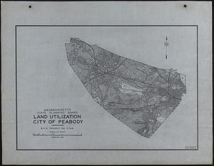
Land Utilization City of Peabody
25.
Land Utilization City of Pittsfield
26.
Land Utilization City of Quincy
27.
Land Utilization City of Salem
28.
Land Utilization City of Somerville
29.
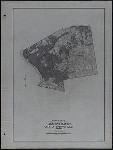
Land Utilization City of Springfield
30.
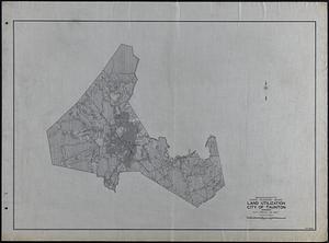
Land Utilization City of Taunton
31.
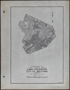
Land Utilization City of Waltham
32.
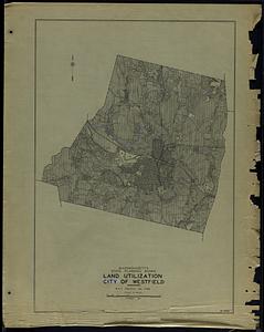
Land Utilization City of Westfield
33.
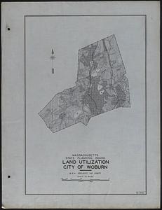
Land Utilization City of Woburn
34.
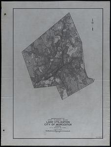
Land Utilization City of Worcester
35.
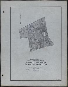
Land Utilization Town of Abington
36.
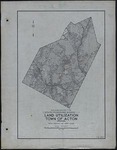
Land Utilization Town of Acton
37.
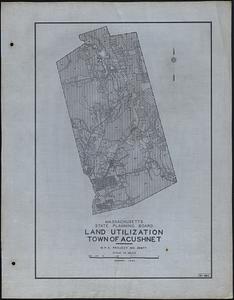
Land Utilization Town of Acushnet
38.
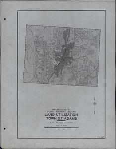
Land Utilization Town of Adams
39.
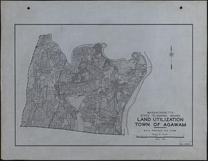
Land Utilization Town of Agawam
40.
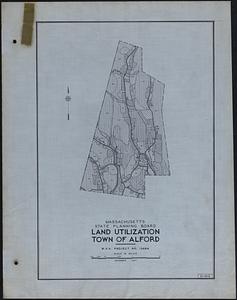
Land Utilization Town of Alford
« Previous
Next »
1
2
3
4
5
6
…
181
182
Limit your search
Subject
Roads
3,552
Cities and towns
1,743
United States. Works Progress Administration
1,692
United States. Work Projects Administration
1,682
Land use mapping
1,679
Soil mapping
1,679
Trees
333
Houses
157
more
Subject
»
Place
North and Central America
3,061
United States
3,027
Massachusetts
2,563
Essex (county)
449
Middlesex (county)
386
Worcester (county)
327
Berkshire (county)
295
Norfolk (county)
198
more
Place
»
Format
Maps/Atlases
1,693
Photographs
1,039
Postcards/Cards
730
Prints
110
Manuscripts
47
Film/Video
29
Ephemera
22
Albums/Scrapbooks
18
more
Format
»
Available to use
No known restrictions
2,634
Creative Commons license
294
Date
View distribution
Current results range from
1683
to
2011
Date range begin
Date range end
View larger »
Unknown
84
Collection
Land study maps, 1936-1937
1,679
Tichnor Brothers Postcard Collection
576
Bill Lane Photograph Collection
217
Arlington Historical Society Collection
78
Leon Abdalian Collection
70
Alexander Davidson Photography
48
Edmund L. Mitchell Collection
42
Hamilton Historical Society Collection
41
more
Collection
»
Institution
Massachusetts Archives
1,679
Boston Public Library
996
Newburyport Public Library
217
Arlington Historical Society
102
Williams College
48
Lenox Library Association
43
Hamilton Historical Society
41
Phillips Library at the Peabody Essex Museum
34
more
Institution
»