Skip to search
Skip to main content
Skip to first result
Digital Commonwealth
Folders
Sign Up / Log In
Search for
Search
Search
Search
Basic
Advanced
Explore
Map
Collections
Institutions
Formats
For Educators
Primary Source Sets
Lesson Plans
Using Primary Sources
Searching Digital Commonwealth
For Institutions
Join Digital Commonwealth
Conferences, Trainings, & Events
How to Contribute Collections
Digitization Services
Board & Committees
Frequently Asked Questions
About
About Digital Commonwealth
News & Announcements
Copyright & Terms of Use
Harmful Content Statement
Partners
API
Contact Us
Search
Search Constraints
Start Over
Save Search
Your search:
More Like
commonwealth:0v83bp04x
✖
Remove constraint More Like: commonwealth:0v83bp04x
« Prev.
|
61
-
80
of
214
|
Next »
Sort
by relevance
relevance
title
date (asc)
date (desc)
recently added
Number of results to display per page
20
per page
per page
10
per page
20
per page
50
per page
100
per page
View results as:
List
list view
Maps
map view
Gallery
grid view
Search Results
61.
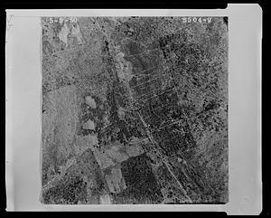
Properties near Northfield Road and Maplewood Golf Course
62.
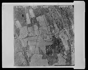
Properties near Northfield Road, Highland Street,and West Townsend Road
63.
Properties near Page Street and the Shirley town line
64.
Properties near Page Street and Watt Street
65.
Properties near Pleasant St
66.
Properties near Prospect Street and Cross Road and Leominster Road
67.
Properties near Reservoir Road
68.
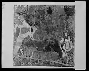
Properties near Reservoir Road and the western shoreline of the Shirley Reservoir
69.
Properties near Round Road, Reservoir Road and the southwestern shoreline of Shirley Reservoir
70.
Properties near the Ashby and Fitchburg town lines and New West Townsend Road
71.
Properties near the B.M.R.R railway tracks and a tract labeled "North Leominster Rod and Gun club, Inc."
72.
Properties near the eastern shoreline of the Shirley Reservoir and the Shirley town line
73.
Properties near the Fitchburg town line and New West Townsend Road
74.
Properties near the Fitchburg town line and the intersection of Northfield Road and New West Townsend Road
75.
Properties near the Fitchburg town line, Summer Street and Baker Pond
76.
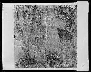
Properties near the intersection of Burrage Street and Flat Hill Road
77.
Properties near the intersection of Chase Road and Beal Street
78.
Properties near the intersection of Chase Road and Northfield Road
79.
Properties near the intersection of Electric Avenue and West Street
80.
Properties near the intersection of Flat Hill Road and Elmwood Road
« Previous
Next »
1
2
3
4
5
6
7
8
…
10
11
Limit your search
Subject
Land subdivision
214
Lakes & ponds
36
Taxes
11
Houses
4
Land use
4
Historic buildings
3
Railroad tracks
3
Poll taxes
2
more
Subject
»
Place
North and Central America
199
United States
195
Massachusetts
194
Lunenburg
150
Worcester (county)
150
Norfolk (county)
37
Quincy
34
Cuba
4
more
Place
»
Format
Photographs
187
Documents
16
Manuscripts
16
Drawings/Illustrations
6
Maps/Atlases
5
Letters/Correspondence
2
Objects/Artifacts
2
Available to use
No known restrictions
153
Creative Commons license
49
Date
View distribution
Current results range from
1737
to
2005
Date range begin
Date range end
View larger »
Collection
1950 Aerial Mapping of Lunenburg, Ma.
150
Parker Collection
34
Watertown Miscellaneous
14
Plans & Drawings, c.1847-1979 (Bulk 1882-1970)
5
Peak House Institutional Records Collection
3
Digital Amherst Collection
2
Stereograph Collection
2
Arlington Historical Society Collection
1
more
Collection
»
Institution
Lunenburg Massachusetts Historical Society
150
Thomas Crane Public Library
34
Watertown Free Public Library
15
Frederick Law Olmsted National Historic Site
5
Peak House Heritage Center
3
Arlington Historical Society
2
Boston Public Library
2
Jones Library, Amherst
2
more
Institution
»
We'd love your feedback!
×
Would you be interested in taking a short survey about Digital Commonwealth?