Skip to search
Skip to main content
Skip to first result
Digital Commonwealth
Folders
Sign Up / Log In
Search for
Search
Search
Search
Basic
Advanced
Explore
Map
Collections
Institutions
Formats
For Educators
Primary Source Sets
Lesson Plans
Using Primary Sources
Searching Digital Commonwealth
For Institutions
Join Digital Commonwealth
Conferences, Trainings, & Events
How to Contribute Collections
Digitization Services
Board & Committees
Frequently Asked Questions
About
About Digital Commonwealth
News & Announcements
Copyright & Terms of Use
Harmful Content Statement
Partners
API
Contact Us
Search
Search Constraints
Start Over
Save Search
Your search:
More Like
commonwealth:1257c3536
✖
Remove constraint More Like: commonwealth:1257c3536
« Prev.
|
10,801
-
10,820
of
11,788
|
Next »
Sort
by relevance
relevance
title
date (asc)
date (desc)
recently added
Number of results to display per page
20
per page
per page
10
per page
20
per page
50
per page
100
per page
View results as:
List
list view
Maps
map view
Gallery
grid view
Search Results
10801.
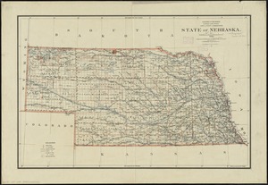
State of Nebraska
10802.
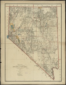
State of Nevada
10803.
The state of New Hampshire
10804.
The state of New Hampshire : compiled chiefly from actual surveys
10805.
The State of New Jersey : from original surveys based on the triangulation of the U.S. Coast and Geodetic Survey
10806.
The state of New Jersey : economic geology
10807.
The state of New Jersey, compiled from the most authentic information
10808.
State of New York
10809.
The state of New York
10810.
The state of New York, compiled from the best authorities
10811.
The state of New York with part of the adjacent states
10812.
The state of North Carolina from the best authorities, &c
10813.
State of North Dakota
10814.
State of North Dakota
10815.
State of Oaxaca
10816.
State of Ohio
10817.
State of Ohio coal fields and producing districts
10818.
State of Oregon
10819.
The State of Pennsylvania
10820.
The state of Pennsylvania : reduced with permission from Reading Howells map
« Previous
Next »
1
2
…
537
538
539
540
541
542
543
544
545
…
589
590
Limit your search
Subject
Real property--Massachusetts--Boston--Maps
2,357
Boston (Mass.)--Maps
2,188
Landowners--Massachusetts--Boston--Maps
2,154
Roxbury (Boston, Mass.)--Maps
364
Dorchester (Boston, Mass.)--Maps
325
Cambridge (Mass.)--Maps
268
Brookline (Mass.)--Maps
237
Real property--Massachusetts--Cambridge--Maps
216
more
Subject
»
Place
North and Central America
9,021
United States
7,938
Massachusetts
5,079
Suffolk (county)
3,651
Boston
3,511
Europe
1,392
Middlesex (county)
622
Canada
449
more
Place
»
Format
Maps/Atlases
11,728
Manuscripts
215
Prints
56
Books
35
Objects/Artifacts
10
Drawings/Illustrations
8
Posters
5
Available to use
No known restrictions
11,588
Creative Commons license
68
Date
View distribution
Current results range from
1482
to
2023
Date range begin
Date range end
View larger »
Unknown
4
Collection
Norman B. Leventhal Map & Education Center Collection
11,512
Boston and New England Maps (Collection of Distinction)
5,327
Urban Maps (Collection of Distinction)
5,094
Maritime Charts and Atlases (Collection of Distinction)
1,083
American Revolutionary War-Era Maps (Collection of Distinction)
624
Boston Redevelopment Authority Collection
253
Historic Maps
49
Massachusetts Real Estate Atlases
38
more
Collection
»
Institution
Boston Public Library
11,657
State Library of Massachusetts
52
Salem State University Archives and Special Collections
49
Private Collection
20
American Antiquarian Society
9
Boston Athenaeum
1
We'd love your feedback!
×
Would you be interested in taking a short survey about Digital Commonwealth?