Skip to search
Skip to main content
Skip to first result
Digital Commonwealth
Folders
Sign Up / Log In
Search for
Search
Search
Search
Basic
Advanced
Explore
Map
Collections
Institutions
Formats
For Educators
Primary Source Sets
Lesson Plans
Using Primary Sources
Searching Digital Commonwealth
For Institutions
Join Digital Commonwealth
Conferences, Trainings, & Events
How to Contribute Collections
Digitization Services
Board & Committees
Frequently Asked Questions
About
About Digital Commonwealth
News & Announcements
Copyright & Terms of Use
Harmful Content Statement
Partners
API
Contact Us
Search
Search Constraints
Start Over
Save Search
Your search:
More Like
commonwealth:25152j367
✖
Remove constraint More Like: commonwealth:25152j367
« Prev.
|
221
-
240
of
726
|
Next »
Sort
by relevance
relevance
title
date (asc)
date (desc)
recently added
Number of results to display per page
20
per page
per page
10
per page
20
per page
50
per page
100
per page
View results as:
List
list view
Maps
map view
Gallery
grid view
Search Results
221.
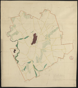
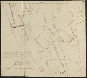
Plan of Gardner made by William Young, dated 1831
222.
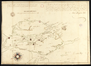
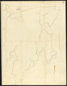
Plan of Georgetown, Me., made by Mark L Hill, dated May 25, 1795.
223.
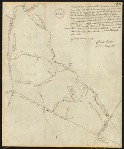
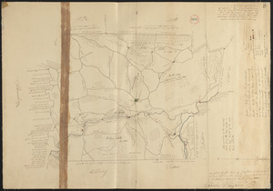
Plan of Gerry (Phillipston) surveyed by Charles Baker and Gardner Maynard, dated March, 1795.
224.
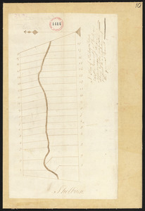
Plan of Gilead (Peabody's Patent) surveyor's name not given, dated 1794-5.
225.
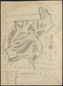
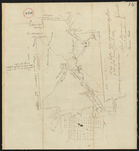
Plan of Gill made by Josiah Gould, dated 1830
226.
Plan of Gill, made by Seba Allen, dated November, 1794.
227.
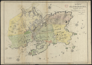
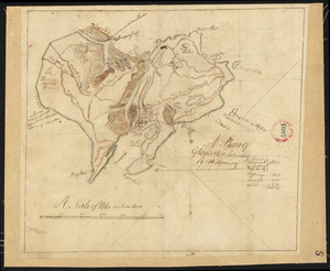
Plan of Gloucester made by John Mason, dated 1830
228.
Plan of Gloucester made by John Mason, dated 1831
229.
Plan of Gloucester, surveyor's name not given, dated 1794.
230.
Plan of Gorham (Narragansett No.7) made by Stephen Longfellow, dated December, 1794.
231.
Plan of Goshen made by John Grant, dated May, 1795.
232.
Plan of Goshen made by John Grant, dated September 19, 1831
233.
Plan of Goshen made by William Abell dated July 6, 1839
234.
Plan of Gouldsborough, surveyor's name not given, dated 1794-5.
235.
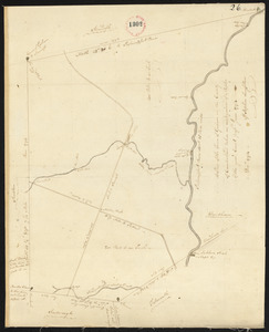
Plan of Grafton made by Charles Brigham Jr. dated 1831
236.
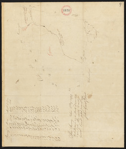
Plan of Grafton, surveyor's name not given, dated May 20, 1795.
237.
Plan of Granby surveyor's name not given, dated 1794.
238.
Plan of Granby, surveyor's name not given, dated 1830
239.
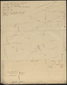
Plan of Granville made by Luke Barber, dated June 29, 1831
240.
Plan of Granville surveyor's name not given, dated November, 1794.
« Previous
Next »
1
2
…
8
9
10
11
12
13
14
15
16
…
36
37
Limit your search
Place
North and Central America
724
United States
723
Massachusetts
297
Maine
128
Worcester (county)
108
Middlesex (county)
77
Franklin (county)
61
Berkshire (county)
59
more
Place
»
Format
Maps/Atlases
726
Available to use
No known restrictions
726
Date
View distribution
Current results range from
1786
to
1898
Date range begin
Date range end
View larger »
Collection
Town plans, 1794
403
Town plans, 1830
323
Institution
Massachusetts Archives
726
We'd love your feedback!
×
Would you be interested in taking a short survey about Digital Commonwealth?