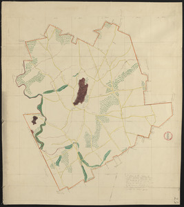
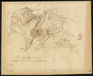
221. Plan of Gardner made by William Young, dated 1831 Creator: Young, William Format: Maps/Atlases Collection: Town plans, 1830 Date: 1831 Institution: Massachusetts Archives
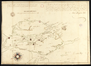
222. Plan of Georgetown, Me., made by Mark L Hill, dated May 25, 1795. Creator: Hill, Mark L. Format: Maps/Atlases Collection: Town plans, 1794 Date: 1795 Institution: Massachusetts Archives
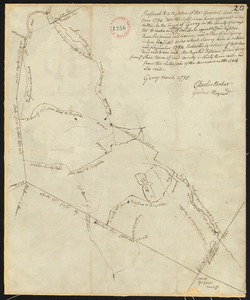
223. Plan of Gerry (Phillipston) surveyed by Charles Baker and Gardner Maynard, dated March, 1795. Creator: Baker, Charles; Maynard, Garnder Format: Maps/Atlases Collection: Town plans, 1794 Date: 1795 Institution: Massachusetts Archives
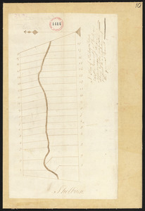
224. Plan of Gilead (Peabody's Patent) surveyor's name not given, dated 1794-5. Format: Maps/Atlases Collection: Town plans, 1794 Date: 1794–1795 Institution: Massachusetts Archives
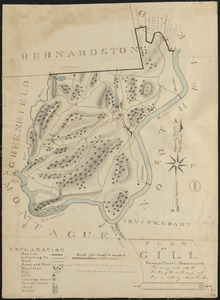
225. Plan of Gill made by Josiah Gould, dated 1830 Creator: Gould, Josiah Format: Maps/Atlases Collection: Town plans, 1830 Date: 1830 Institution: Massachusetts Archives
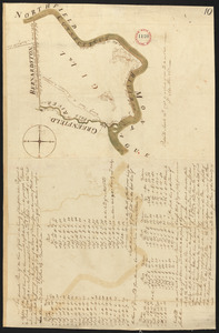
226. Plan of Gill, made by Seba Allen, dated November, 1794. Creator: Allen, Seba Format: Maps/Atlases Collection: Town plans, 1794 Date: 1794 Institution: Massachusetts Archives
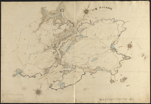
227. Plan of Gloucester made by John Mason, dated 1830 Creator: Mason, John Format: Maps/Atlases Collection: Town plans, 1830 Date: 1830 Institution: Massachusetts Archives
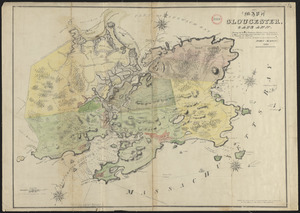
228. Plan of Gloucester made by John Mason, dated 1831 Creator: Mason, John Format: Maps/Atlases Collection: Town plans, 1830 Date: 1831 Institution: Massachusetts Archives
229. Plan of Gloucester, surveyor's name not given, dated 1794. Format: Maps/Atlases Collection: Town plans, 1794 Date: 1794 Institution: Massachusetts Archives
230. Plan of Gorham (Narragansett No.7) made by Stephen Longfellow, dated December, 1794. Creator: Longfellow, Stephen, 1750-1824 Format: Maps/Atlases Collection: Town plans, 1794 Date: 1794 Institution: Massachusetts Archives
231. Plan of Goshen made by John Grant, dated May, 1795. Creator: Grant, John Format: Maps/Atlases Collection: Town plans, 1794 Date: 1795 Institution: Massachusetts Archives
232. Plan of Goshen made by John Grant, dated September 19, 1831 Creator: Grant, John Format: Maps/Atlases Collection: Town plans, 1830 Date: September 19, 1831 Institution: Massachusetts Archives
233. Plan of Goshen made by William Abell dated July 6, 1839 Creator: Abell, William, active 1801-1836 Format: Maps/Atlases Collection: Town plans, 1830 Date: July 6, 1839 Institution: Massachusetts Archives
234. Plan of Gouldsborough, surveyor's name not given, dated 1794-5. Format: Maps/Atlases Collection: Town plans, 1794 Date: 1794–1795 Institution: Massachusetts Archives
235. Plan of Grafton made by Charles Brigham Jr. dated 1831 Creator: Brigham, Charles, Jr. Format: Maps/Atlases Collection: Town plans, 1830 Date: 1831 Institution: Massachusetts Archives
236. Plan of Grafton, surveyor's name not given, dated May 20, 1795. Format: Maps/Atlases Collection: Town plans, 1794 Date: 1795 Institution: Massachusetts Archives
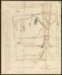
237. Plan of Granby surveyor's name not given, dated 1794. Format: Maps/Atlases Collection: Town plans, 1794 Date: 1794 Institution: Massachusetts Archives
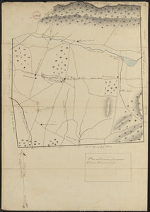
238. Plan of Granby, surveyor's name not given, dated 1830 Format: Maps/Atlases Collection: Town plans, 1830 Date: 1830 Institution: Massachusetts Archives
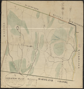
239. Plan of Granville made by Luke Barber, dated June 29, 1831 Creator: Barber, Luke Format: Maps/Atlases Collection: Town plans, 1830 Date: June 29, 1831 Institution: Massachusetts Archives
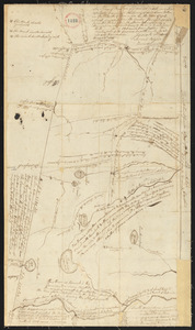
240. Plan of Granville surveyor's name not given, dated November, 1794. Format: Maps/Atlases Collection: Town plans, 1794 Date: 1794 Institution: Massachusetts Archives