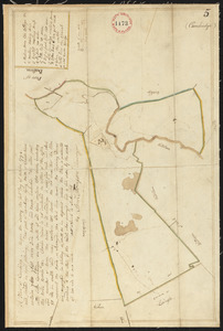
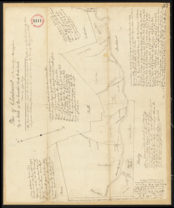
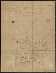
101. Plan of Cambridge, made by Samuel Thompson, dated April, 1795. Creator: Thompson, Samuel Format: Maps/Atlases Collection: Town plans, 1794 Date: 1795 Institution: Massachusetts Archives
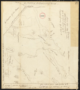
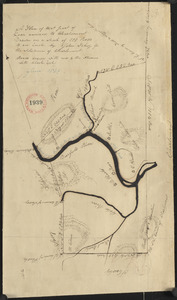
102. Plan of Camden, surveyor's name not given, dated May 1795. Format: Maps/Atlases Collection: Town plans, 1794 Date: 1795 Institution: Massachusetts Archives
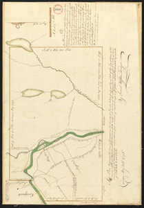
103. Plan of Canaan surveyed by Samuel Weston, dated May 20, 1795. Creator: Weston, Samuel Format: Maps/Atlases Collection: Town plans, 1794 Date: 1795 Institution: Massachusetts Archives
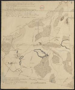
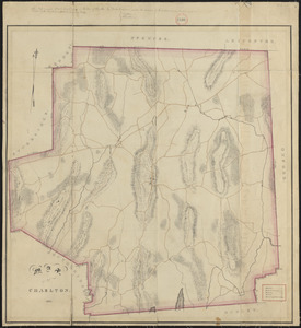
104. Plan of Canton made by Joseph Hodges, dated October 1830 Creator: Hodges, Joseph Format: Maps/Atlases Collection: Town plans, 1830 Date: October 1830 Institution: Massachusetts Archives
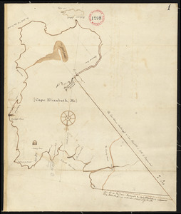
105. Plan of Cape Elizabeth, surveyor's name not given, dated 1794-1795. Format: Maps/Atlases Collection: Town plans, 1794 Date: 1794–1795 Institution: Massachusetts Archives
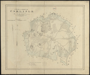
106. Plan of Carlisle made by John G. Hales, dated 1831 Creator: Hales, John Groves Format: Maps/Atlases Collection: Town plans, 1830 Date: 1831 Institution: Massachusetts Archives
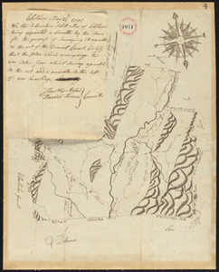
107. Plan of Carver surveyed by Nehemiah Cobb, dated 1794-5. Creator: Cobb, Nehemiah Format: Maps/Atlases Collection: Town plans, 1794 Date: 1794–1795 Institution: Massachusetts Archives
108. Plan of Charlemont made by Levi Leonard, dated September 1830 Creator: Leonard, Levi Format: Maps/Atlases Collection: Town plans, 1830 Date: September 1830 Institution: Massachusetts Archives
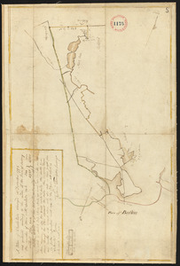
109. Plan of Charlemont surveyed by Jesse King, dated 1794-5. Creator: King, Jesse Format: Maps/Atlases Collection: Town plans, 1794 Date: 1794–1795 Institution: Massachusetts Archives
110. Plan of Charlemont (Zoar) made by John Tobey, dated June 1839 Creator: Tobey, John Format: Maps/Atlases Collection: Town plans, 1830 Date: June 1839 Institution: Massachusetts Archives
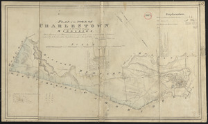
111. Plan of Charlestown made by John G. Hales, dated August 1830 Creator: Hales, John Groves Format: Maps/Atlases Collection: Town plans, 1830 Date: August 1830 Institution: Massachusetts Archives
112. Plan of Charlestown, made by Samuel Thompson, dated December, 1794. Creator: Thompson, Samuel Format: Maps/Atlases Collection: Town plans, 1794 Date: 1794 Institution: Massachusetts Archives
113. Plan of Charlton made by Barlow Freeman, dated 1831 Creator: Freeman, Barlow Format: Maps/Atlases Collection: Town plans, 1830 Date: 1831 Institution: Massachusetts Archives
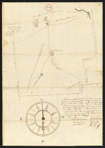
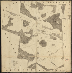
114. Plan of Charlton surveyor's name not given, dated May 22, 1795. Format: Maps/Atlases Collection: Town plans, 1794 Date: 1795 Institution: Massachusetts Archives
115. Plan of Chatham, surveyor's name not given, dated 1831 Format: Maps/Atlases Collection: Town plans, 1830 Date: 1831 Institution: Massachusetts Archives
116. Plan of Chatham, surveyor's name not given, dated May 22, 1795. Format: Maps/Atlases Collection: Town plans, 1794 Date: 1795 Institution: Massachusetts Archives
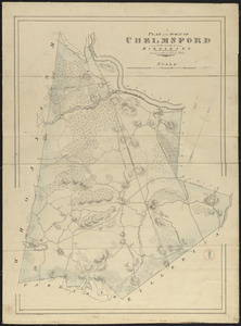
117. Plan of Chelmsford made by John G. Hales, dated 1831 Creator: Hales, John Groves Format: Maps/Atlases Collection: Town plans, 1830 Date: 1831 Institution: Massachusetts Archives
118. Plan of Cheshire, surveyor's name not given, dated 1830 Format: Maps/Atlases Collection: Town plans, 1830 Date: 1830 Institution: Massachusetts Archives
119. Plan of Cheshire, surveyor's name not given, dated May 22, 1795. Format: Maps/Atlases Collection: Town plans, 1794 Date: 1795 Institution: Massachusetts Archives
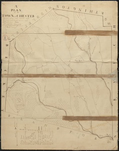
120. Plan of Chester made by J. Gould, dated September 1831 Creator: Gould, J. Format: Maps/Atlases Collection: Town plans, 1830 Date: September 1831 Institution: Massachusetts Archives