Skip to search
Skip to main content
Skip to first result
Digital Commonwealth
Folders
Sign Up / Log In
Search for
Search
Search
Search
Basic
Advanced
Explore
Map
Collections
Institutions
Formats
For Educators
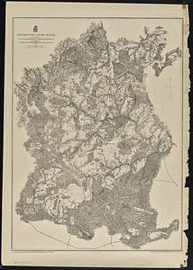
Primary Source Sets
Lesson Plans
Using Primary Sources
Searching Digital Commonwealth
For Institutions
Join Digital Commonwealth
Conferences, Trainings, & Events
How to Contribute Collections
Digitization Services
Board & Committees
Frequently Asked Questions
About
About Digital Commonwealth
News & Announcements
Copyright & Terms of Use
Harmful Content Statement
Partners
API
Contact Us
Search
Search Constraints
Start Over
Save Search
Your search:
More Like
commonwealth:3t94b2592
✖
Remove constraint More Like: commonwealth:3t94b2592
« Prev. |
1
-
20
of
109
|
Next »
Sort
by relevance
relevance
title
date (asc)
date (desc)
recently added
Number of results to display per page
20
per page
per page
10
per page
20
per page
50
per page
100
per page
View results as:
List
list view
Maps
map view
Gallery
grid view
Search Results
1.
Boston Over Time : filling in the land 1630 - present
2.
Boston over Time
3.
Boston shoreline 1630
4.
Boston shoreline 1795
5.
Boston shoreline 1852
6.
Boston shoreline 1880
7.
Boston shoreline 1916
8.
Boston shoreline 1934
9.
Boston shoreline 1950
10.
Boston shoreline 1995
11.
Boston shoreline composite
12.
Plan of Boston proper : showing changes in street and wharf lines, 1795 to 1895
13.
Tax parcels that would have been underwater in 1630
14.
The 1976 proposed regional open space plan
15.
Airbrush base for the Pelorus Linea region of Europa
16.
Aitoff's equal area projection of the sphere
17.
Antietam
18.
Appomattox Court House
19.
Azimuthal map projections
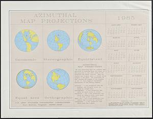
20.
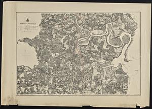
Bermuda Hundred
« Previous
Next »
1
2
3
4
5
6
Limit your search
Subject
Massachusetts--Maps
17
Boston (Mass.)--Historical geography--Maps
13
United States--History--Civil War, 1861-1865--Maps
10
Land use--Massachusetts--Maps
7
Virginia--History--Civil War, 1861-1865--Maps
7
Connecticut--Maps
5
Watersheds--Massachusetts--Maps
5
Boston Metropolitan Area (Mass.)--Maps
4
more
Subject
»
Place
North and Central America
94
United States
93
Massachusetts
64
Boston
20
Suffolk (county)
20
Virginia
13
Connecticut
5
Essex (county)
5
more
Place
»
Format
Maps/Atlases
106
Ephemera
2
Documents
1
Posters
1
Available to use
No known restrictions
109
Date
View distribution
Current results range from
1867
to
2021
Date range begin
Date range end
View larger »
Collection
Norman B. Leventhal Map & Education Center Collection
109
David Judkins Weaver Papers
96
Boston and New England Maps (Collection of Distinction)
73
Urban Maps (Collection of Distinction)
20
Institution
Boston Public Library
109