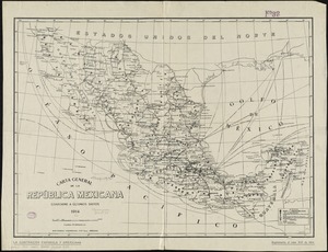
1. Carta general de la República Mexicana conforme a últimos datos Creator: Herrero Hermanos, Sucesores Format: Maps/Atlases Collection: Norman B. Leventhal Map & Education Center Collection Date: 1914 Institution: Boston Public Library
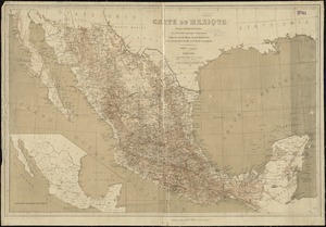
2. Carta geografica general de la republica Mexicana Creator: Mexico. Ministerio de la Guerra Format: Maps/Atlases Collection: Norman B. Leventhal Map & Education Center Collection Date: 1845 Institution: Boston Public Library
3. Carte du Mexique Creator: Niox, G. (Gustave), 1840-1921 Format: Maps/Atlases Collection: Norman B. Leventhal Map & Education Center Collection Date: 1881 Institution: Boston Public Library
4. Carte du Mexique et des pays limitrophes situés au nord et à l'est : dressée d'après la grande carte de la Nouvelle Espagne de Mr. A. de Humboldt et d'autres... Creator: Poirson, J. B. (Jean Baptiste), 1760-1831 Format: Maps/Atlases Collection: Norman B. Leventhal Map & Education Center Collection Date: 1811 Institution: Boston Public Library
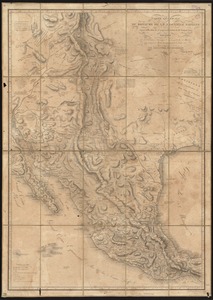
5. Carte générale du royaume de la Nouvelle Espagne depuis le parallèle de 16° jusqu'au parallèle de 38° (latitude nord) Creator: Humboldt, Alexander von, 1769-1859 Format: Maps/Atlases Collection: Norman B. Leventhal Map & Education Center Collection Date: 1809 Institution: Boston Public Library
6. Case's map of the United States, the British provinces, Mexico, and part of the West Indies : compiled from the latest government maps and other official sources Creator: O.D. Case & Company Format: Maps/Atlases Collection: Norman B. Leventhal Map & Education Center Collection Date: 1874 Institution: Boston Public Library
7. Colton's map of the United States of America, the British provinces, Mexico and the West Indies : showing the country from the Atlantic to the Pacific Ocean Creator: Colton, J. H. (Joseph Hutchins), 1800-1893 Format: Maps/Atlases Collection: Norman B. Leventhal Map & Education Center Collection Date: 1854 Institution: Boston Public Library
8. A correct map of the seat of war in Mexico : being a copy of Genl. Arista's map, taken at Resaca de la Palma, with additions and corrections ; embellished with... Creator: Bruff, Joseph Goldsborough, 1804-1889 Format: Maps/Atlases Collection: Norman B. Leventhal Map & Education Center Collection Date: 1847 Institution: Boston Public Library
9. The countries of the Caribbean : including Mexico, Central America, the West Indies and the Panama Canal Creator: National Geographic Society (U.S.). Cartographic Division Format: Maps/Atlases Collection: Norman B. Leventhal Map & Education Center Collection Date: 1922 Institution: Boston Public Library
10. General railway map engraved expressly for the Official guide of the railways and steam navigation lines of the United States, Porto Rico, Canada, Mexico and Cuba,... Creator: National Railway Publication Company Format: Maps/Atlases Collection: Norman B. Leventhal Map & Education Center Collection Date: 1918 Institution: Boston Public Library
11. Map of the Mexican National Railway : showing also its relative position to the railway system of the United States, both as to the eastern & western halves of the... Format: Maps/Atlases Collection: Norman B. Leventhal Map & Education Center Collection Date: 1882 Institution: Boston Public Library
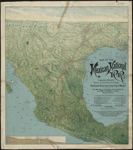
12. Map of the Mexican National R.R "Laredo route " and connections : the scenic short line to the city of Mexico Creator: Poole Brothers Format: Maps/Atlases Collection: Norman B. Leventhal Map & Education Center Collection Date: 1897 Institution: Boston Public Library
13. Map of the Texas, Topolobampo and Pacific Railroad and Telegraph Cpy. (Western Division) : from Chihuahua and Parral to Topolobampo Harbor, showing the Sierra and... Creator: Von Motz, Albert. Format: Maps/Atlases Collection: Norman B. Leventhal Map & Education Center Collection Date: 1883 Institution: Boston Public Library
14. Map of the United States, British & Central America : from state documents & unpublished materials Creator: Rogers, Henry D. (Henry Darwin), 1808-1866, Johnston, Keith, 1844-1879, and W. & A.K. Johnston Limited Format: Maps/Atlases Collection: Norman B. Leventhal Map & Education Center Collection Date: 1857 Institution: Boston Public Library
15. Map of the United States of America, Mexico, Central America, and the West India Islands Creator: Walling, Henry Francis, 1825-1888 Format: Maps/Atlases Collection: Norman B. Leventhal Map & Education Center Collection Date: 1863 Institution: Boston Public Library
16. Map of the United States of America, the British Provinces, Mexico, the West Indies and Central America, with part of New Granada and Venezuela Creator: Colton, G. Woolworth (George Woolworth), 1827-1901 Format: Maps/Atlases Collection: Norman B. Leventhal Map & Education Center Collection Date: 1849 Institution: Boston Public Library
17. Map of the United States of America, the British provinces, Mexico, the West Indies and Central America, with part of New Granada and Venezuela Creator: Colton, G. Woolworth (George Woolworth), 1827-1901 Format: Maps/Atlases Collection: Norman B. Leventhal Map & Education Center Collection Date: 1857 Institution: Boston Public Library
18. Map of the United States of North America, upper & lower Canada, New Brunswick, Nova Scotia & British Columbia, Mexico, Cuba, Jamaica, St. Domingo and the Bahama Islands Creator: Ettling, Theodor, b. 1823 Format: Maps/Atlases Collection: Norman B. Leventhal Map & Education Center Collection Date: 1861 Institution: Boston Public Library
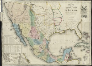
19. Mapa de los Estados Unidos de Méjico Creator: Disturnell, John, 1801-1877 Format: Maps/Atlases Collection: Norman B. Leventhal Map & Education Center Collection Date: 1846 Institution: Boston Public Library
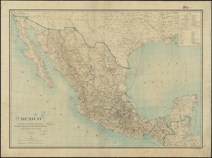
20. Mexico : from official Mexican and other sources Creator: Hendges, M. Format: Maps/Atlases Collection: Norman B. Leventhal Map & Education Center Collection Date: 1900 Institution: Boston Public Library