Skip to search
Skip to main content
Skip to first result
Digital Commonwealth
Folders
Sign Up / Log In
Search for
Search
Search
Search
Basic
Advanced
Explore
Map
Collections
Institutions
Formats
For Educators
Primary Source Sets
Lesson Plans
Using Primary Sources
Searching Digital Commonwealth
For Institutions
Join Digital Commonwealth
Conferences, Trainings, & Events
How to Contribute Collections
Digitization Services
Board & Committees
Frequently Asked Questions
About
About Digital Commonwealth
News & Announcements
Copyright & Terms of Use
Harmful Content Statement
Partners
API
Contact Us
Search
Search Constraints
Start Over
Save Search
Your search:
More Like
commonwealth:5425p056n
✖
Remove constraint More Like: commonwealth:5425p056n
« Prev.
|
301
-
320
of
381
|
Next »
Sort
by relevance
relevance
title
date (asc)
date (desc)
recently added
Number of results to display per page
20
per page
per page
10
per page
20
per page
50
per page
100
per page
View results as:
List
list view
Maps
map view
Gallery
grid view
Search Results
301.
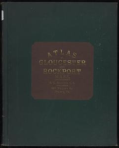
Atlas of the city of Gloucester and town of Rockport, Massachusetts : from official records, private plans and actual surveys
302.
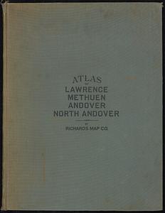
Atlas of the city of Lawrence and the towns of Methuen, Andover and North Andover, Massachusetts
303.
Atlas of the city of Lawrence and the towns of Methuen, Andover and North Andover, Massachusetts
304.
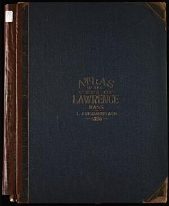
Atlas of the city of Lawrence, Massachusetts : including also the town of Methuen
305.
Atlas of the city of Lowell, Massachusetts
306.
Atlas of the city of Lowell, Massachusetts
307.
Atlas of the City of Lynn, Massachusetts, including also, the towns of Swampscott and Saugus
308.
Atlas of the City of Lynn, Massachusetts, including also, the towns of Swampscott and Saugus
309.
Atlas of the city of Malden, Massachusetts
310.
Atlas of the city of Newton, Massachusetts
311.
Atlas of the city of Newton, Massachusetts
312.
Atlas of the city of Newton, Massachusetts
313.
Atlas of the city of Newton, Middlesex Co., Massachusetts
314.
Atlas of the city of Pittsfield, Berkshire County, Massachusetts
315.
Atlas of the city of Quincy, Norfolk County, Massachusetts : compiled from the latest plans and original surveys
316.
Atlas of the city of Quincy, Norfolk County, Massachusetts
317.
Atlas of the city of Quincy, Norfolk County, Massachusetts
318.
Atlas of the city of Salem, Massachusetts : including also the towns of Marblehead, Peabody, and Danvers
319.
Atlas of the city of Salem, Massachusetts
320.
Atlas of the city of Salem, Massachusetts
« Previous
Next »
1
2
…
12
13
14
15
16
17
18
19
20
Limit your search
Subject
Brookline (Mass.)--Maps
240
Real property--Massachusetts--Brookline--Maps
218
Landowners--Massachusetts--Brookline--Maps
214
Landowners--Massachusetts--Boston--Maps
46
Real property--Massachusetts--Boston--Maps
46
Buildings--Massachusetts--Boston--Maps
34
Brighton (Boston, Mass.)--Maps
16
Boston (Mass.)--Maps
14
more
Subject
»
Place
North and Central America
381
United States
378
Norfolk (county)
250
Massachusetts
243
Brookline
241
Suffolk (county)
52
Boston
50
Essex (county)
28
more
Place
»
Format
Maps/Atlases
381
Available to use
No known restrictions
237
Date
View distribution
Current results range from
1844
to
1972
Date range begin
Date range end
View larger »
Collection
Norman B. Leventhal Map & Education Center Collection
237
Boston and New England Maps (Collection of Distinction)
235
Urban Maps (Collection of Distinction)
235
Massachusetts Real Estate Atlases
143
Massachusetts Board of Harbor and Land Commissioners
1
Institution
Boston Public Library
237
State Library of Massachusetts
144