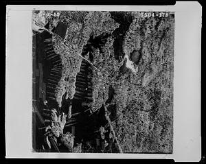
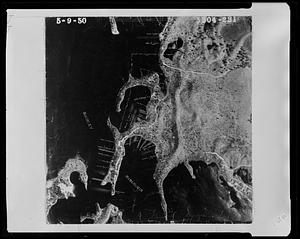
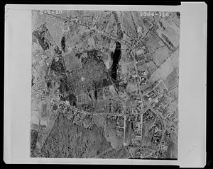
1. Aerial view of a portion of Hickory Hills Lake Format: Photographs Collection: 1950 Aerial Mapping of Lunenburg, Ma. Date: May 9, 1950 Institution: Lunenburg Massachusetts Historical Society
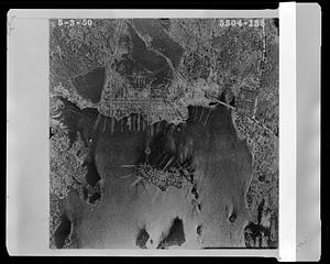
2. Aerial view of Horizon Island Road, Island Road and and the northern end of Hickory Hills Lake Format: Photographs Collection: 1950 Aerial Mapping of Lunenburg, Ma. Date: May 3, 1950 Institution: Lunenburg Massachusetts Historical Society
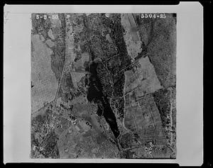
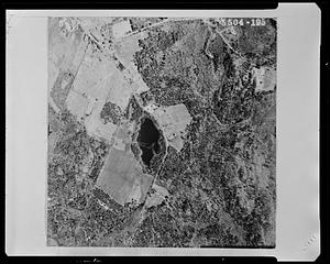
3. Aerial view of Page's Pond and surrounding properties Format: Photographs Collection: 1950 Aerial Mapping of Lunenburg, Ma. Date: May 3, 1950 Institution: Lunenburg Massachusetts Historical Society
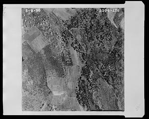
4. Aerial view of properties near Hickory Hills Lake and Town of Lunenburg and Hickory Hill Lake Corporation Format: Photographs Collection: 1950 Aerial Mapping of Lunenburg, Ma. Date: May 9, 1950 Institution: Lunenburg Massachusetts Historical Society
5. Aerial view of properties near Page Street and Thompson Farm Format: Photographs Collection: 1950 Aerial Mapping of Lunenburg, Ma. Date: May 9, 1950 Institution: Lunenburg Massachusetts Historical Society
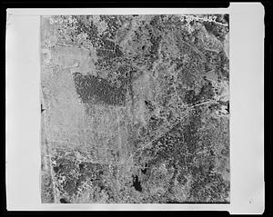
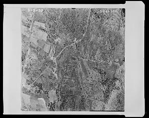
6. Aerial view of properties, Town of Lunenburg Format: Photographs Collection: 1950 Aerial Mapping of Lunenburg, Ma. Date: May 9, 1950 Institution: Lunenburg Massachusetts Historical Society
7. Aerial view of the southwestern shoreline of Hickory Hills Lake and Private Road Format: Photographs Collection: 1950 Aerial Mapping of Lunenburg, Ma. Date: May 3, 1950 Institution: Lunenburg Massachusetts Historical Society
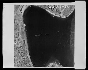
8. Aerial view of Whalom Lake and properties near Lake Front Avenue Format: Photographs Collection: 1950 Aerial Mapping of Lunenburg, Ma. Date: [May 3, 1950] Institution: Lunenburg Massachusetts Historical Society
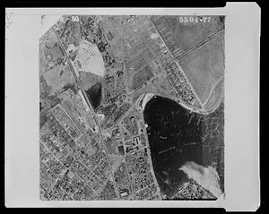
9. Aerial view of Whalom Lake and the properties near Lake Front Avenue and Prospect Street Format: Photographs Collection: 1950 Aerial Mapping of Lunenburg, Ma. Date: May 3, 1950 Institution: Lunenburg Massachusetts Historical Society
10. Properties around the eastern shoreline of the Shirley Reservoir Format: Photographs Collection: 1950 Aerial Mapping of Lunenburg, Ma. Date: May 9, 1950 Institution: Lunenburg Massachusetts Historical Society
11. Properties near Arbor Street and Pine Street Format: Photographs Collection: 1950 Aerial Mapping of Lunenburg, Ma. Date: May 9, 1950 Institution: Lunenburg Massachusetts Historical Society
12. Properties near Burrage Street Format: Photographs Collection: 1950 Aerial Mapping of Lunenburg, Ma. Date: May 9, 1950 Institution: Lunenburg Massachusetts Historical Society
13. Properties near Burrage Street and the Shirley town line Format: Photographs Collection: 1950 Aerial Mapping of Lunenburg, Ma. Date: May 9, 1950 Institution: Lunenburg Massachusetts Historical Society
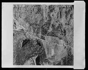
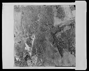
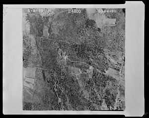
14. Properties near Chase Road Format: Photographs Collection: 1950 Aerial Mapping of Lunenburg, Ma. Date: May 3, 1950 Institution: Lunenburg Massachusetts Historical Society
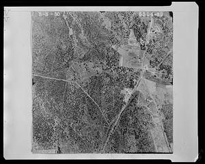
15. Properties near Chase Road Format: Photographs Collection: 1950 Aerial Mapping of Lunenburg, Ma. Date: May 3, 1950 Institution: Lunenburg Massachusetts Historical Society
16. Properties near Chase Road and the Townsend town line Format: Photographs Collection: 1950 Aerial Mapping of Lunenburg, Ma. Date: May 3, 1950 Institution: Lunenburg Massachusetts Historical Society
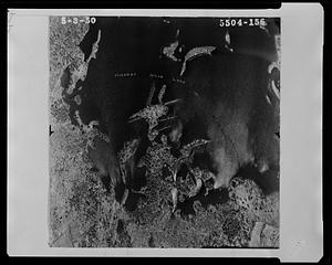
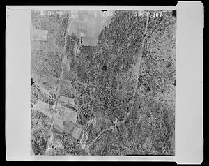
17. Properties near Chase Road and Town Forest Format: Photographs Collection: 1950 Aerial Mapping of Lunenburg, Ma. Date: May 3, 1950 Institution: Lunenburg Massachusetts Historical Society
18. Properties near Chase Road between Northfield Road and West Townsend Road Format: Photographs Collection: 1950 Aerial Mapping of Lunenburg, Ma. Date: May 3, 1950 Institution: Lunenburg Massachusetts Historical Society
19. Properties near Chase Road, Boucher Road, and Asplund Road Format: Photographs Collection: 1950 Aerial Mapping of Lunenburg, Ma. Date: May 3, 1950 Institution: Lunenburg Massachusetts Historical Society
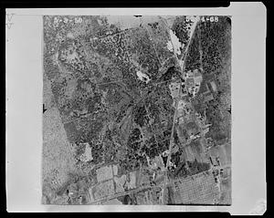
20. Properties near Chestnut Street, Highland Street, Massachusetts Avenue and Main Street, including Marshall Park and Pond Format: Photographs Collection: 1950 Aerial Mapping of Lunenburg, Ma. Date: May 3, 1950 Institution: Lunenburg Massachusetts Historical Society