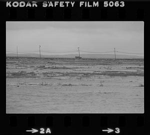
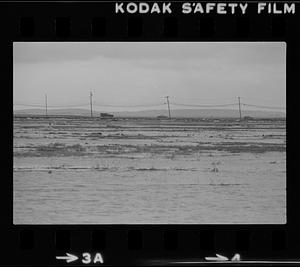
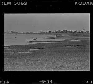
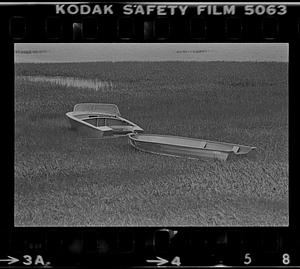
41. Plum Island turnpike and flooded marsh Format: Photographs Collection: Bill Lane Photograph Collection Date: February 1983 Institution: Newburyport Public Library
42. Plum Island turnpike and flooded marsh Format: Photographs Collection: Bill Lane Photograph Collection Date: February 1983 Institution: Newburyport Public Library
43. Plum Island turnpike and flooded marsh Format: Photographs Collection: Bill Lane Photograph Collection Date: February 1983 Institution: Newburyport Public Library
44. Plum Island turnpike and flooded marsh Format: Photographs Collection: Bill Lane Photograph Collection Date: February 1983 Institution: Newburyport Public Library
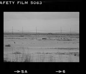
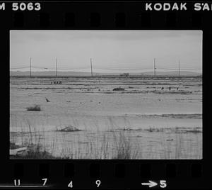
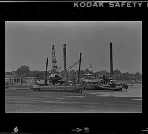
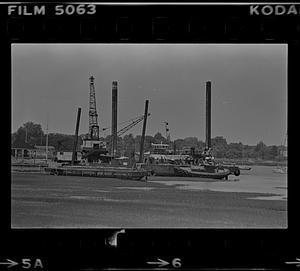
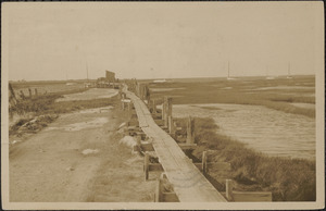
45. Water Street seawall, barges, and marsh Format: Photographs Collection: Bill Lane Photograph Collection Date: 1981 Institution: Newburyport Public Library
46. Water Street seawall, barges, and marsh Format: Photographs Collection: Bill Lane Photograph Collection Date: 1981 Institution: Newburyport Public Library
47. Water Street seawall, barges, and marsh Format: Photographs Collection: Bill Lane Photograph Collection Date: 1981 Institution: Newburyport Public Library
48. Water Street seawall, barges, and marsh Format: Photographs Collection: Bill Lane Photograph Collection Date: 1981 Institution: Newburyport Public Library
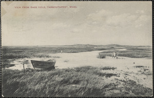
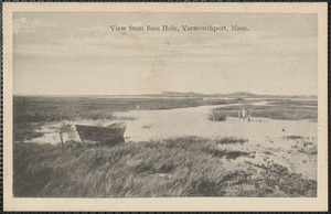
49. Bass Hole at the end of Centre St., Yarmouthport, Mass. Format: Postcards/Cards Collection: Historical Society of Old Yarmouth Archives and Local History Collection Date: [ca. 1912] Institution: Historical Society of Old Yarmouth
50. Bass Hole at the end of Centre St., Yarmouthport, Mass. Format: Postcards/Cards Collection: Historical Society of Old Yarmouth Archives and Local History Collection Date: [ca. 1850–2001] Institution: Historical Society of Old Yarmouth
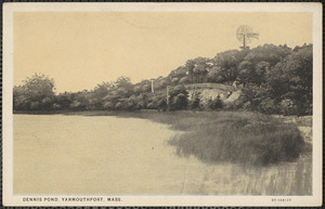
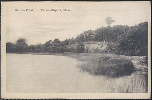
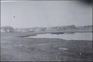
51. Dennis Pond, Summer Street, Yarmouth Port, Mass. Format: Postcards/Cards Collection: Historical Society of Old Yarmouth Archives and Local History Collection Date: [ca. 1850–2001] Institution: Historical Society of Old Yarmouth
52. Dennis Pond, Summer Street, Yarmouth Port, Mass. Format: Postcards/Cards Collection: Historical Society of Old Yarmouth Archives and Local History Collection Date: [ca. 1850–2001] Institution: Historical Society of Old Yarmouth
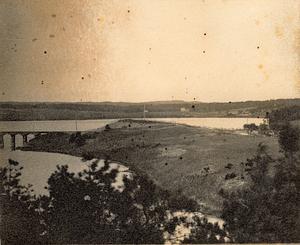
53. Head of Bass River, South Yarmouth, Mass. Format: Photographs Collection: South Yarmouth Past and Present Date: [1860–1920] Institution: Historical Society of Old Yarmouth
54. Lower Village Format: Photographs Collection: Historical Society of Old Yarmouth Archives and Local History Collection Date: [ca. 1850–2001] Institution: Historical Society of Old Yarmouth
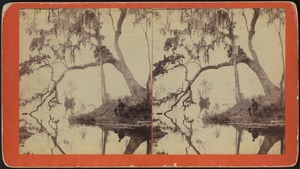
55. Man seated under a tree by an unidentified body of water Format: Photographs Collection: Stereograph Collection Date: [ca. 1850–1920] Institution: Boston Public Library
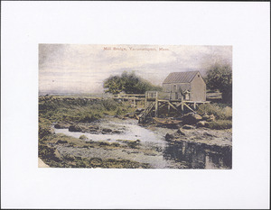
56. Mill Bridge, Yarmouth Port, Mass. Format: Postcards/Cards Collection: Historical Society of Old Yarmouth Archives and Local History Collection Date: [ca. 1850–2001] Institution: Historical Society of Old Yarmouth
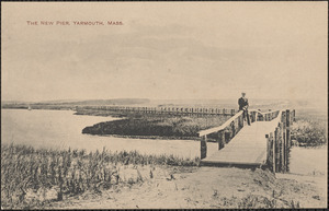
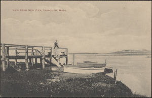
57. New Town Pier, Yarmouth Port, Mass., at Bass Hole Format: Postcards/Cards Collection: Historical Society of Old Yarmouth Archives and Local History Collection Date: [ca. 1850–2001] Institution: Historical Society of Old Yarmouth
58. New Town Pier, Yarmouth Port, Mass., at Bass Hole Format: Postcards/Cards Collection: Historical Society of Old Yarmouth Archives and Local History Collection Date: [ca. 1850–2001] Institution: Historical Society of Old Yarmouth
59. Round Hill, Smith Neck Road, South Dartmouth Format: Photographs Collection: The Photography of E. Milton Silvia Date: November 29, 1964 Institution: Spinner Publications
60. Town Pier, Yarmouth Port, Mass., at end of Wharf Lane Format: Postcards/Cards; Photographs Collection: Historical Society of Old Yarmouth Archives and Local History Collection Date: [ca. 1850–2001] Institution: Historical Society of Old Yarmouth