Skip to search
Skip to main content
Skip to first result
Digital Commonwealth
Folders
Sign Up / Log In
Search for
Search
Search
Search
Basic
Advanced
Explore
Map
Collections
Institutions
Formats
For Educators
Primary Source Sets
Lesson Plans
Using Primary Sources
Searching Digital Commonwealth
For Institutions
Join Digital Commonwealth
Conferences, Trainings, & Events
How to Contribute Collections
Digitization Services
Board & Committees
Frequently Asked Questions
About
About Digital Commonwealth
News & Announcements
Copyright & Terms of Use
Harmful Content Statement
Partners
API
Contact Us
Search
Search Constraints
Start Over
Save Search
Your search:
More Like
commonwealth:9s161913x
✖
Remove constraint More Like: commonwealth:9s161913x
« Prev.
|
4,421
-
4,440
of
11,403
|
Next »
Sort
by relevance
relevance
title
date (asc)
date (desc)
Number of results to display per page
20
per page
per page
10
per page
20
per page
50
per page
100
per page
View results as:
List
list view
Maps
map view
Gallery
grid view
Search Results
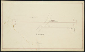
4421.
Dalton
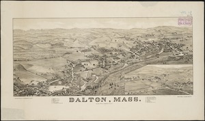
4422.
Dalton, Mass
4423.
Danbury, Conn
4424.
Dane County, Wis.
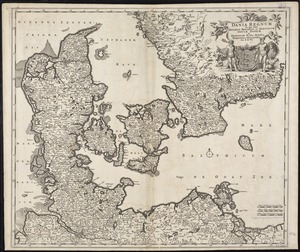
4425.
Dania regnum in quo sunt Ducatus Holsatia et Slesvicum Insulae Danicae et Provinciae Iutia, Scania, Blekingia et Hallandia
4426.
Daniae regni typum potentissimo Invictissimoque D. Christiano, Daniae, Norvegiae, Gotthorum Vandalorum Regi lubens offert
4427.
Danube to India
4428.
Danubius, fluvius Europae maximus, a fontibus ad ostia, cum omnibus fluminibus, ab utroque latere, in illum defluentibus
4429.
Dawson's map of the Dominion of Canada
4430.
Deans, Krusensterns, and Lazareff Islands
4431.
Deans, Krusensterns, and Lazareff Islands
4432.
Decatur, Ill : 1878
4433.
Decima Asiae tabula
4434.
Decima et ultima Europae tabula
4435.
Decima Europe tabula continent Macedonia et Epirum et Achaiam & Peloponesum
4436.
Dedication of the Army and Navy Monument, Sept. 17, 1877
4437.
Deering, Cumberland County, Maine : 1886
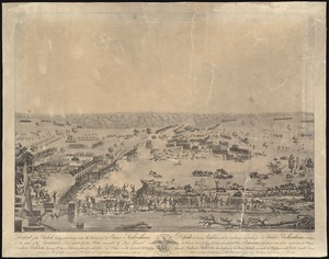
4438.
Defeat of the British army 12,000 strong under the command of Sir Edward Packenham in the attack of the American lines defended...
4439.
Delaware
4440.
Delaware and Maryland
« Previous
Next »
1
2
…
218
219
220
221
222
223
224
225
226
…
570
571
Limit your search
Subject
Real property--Massachusetts--Boston--Maps
2,279
Landowners--Massachusetts--Boston--Maps
2,118
Boston (Mass.)--Maps
1,972
Roxbury (Boston, Mass.)--Maps
352
Dorchester (Boston, Mass.)--Maps
317
Cambridge (Mass.)--Maps
266
Brookline (Mass.)--Maps
236
Real property--Massachusetts--Cambridge--Maps
216
more
Subject
»
Place
North and Central America
8,691
United States
7,615
Massachusetts
4,958
Suffolk (county)
3,349
Boston
3,209
Europe
1,359
Middlesex (county)
618
Canada
448
more
Place
»
Format
Maps/Atlases
11,344
Manuscripts
215
Prints
56
Books
35
Objects/Artifacts
10
Drawings/Illustrations
8
Posters
4
Available to use
No known restrictions
11,335
Creative Commons license
46
Date
View distribution
Current results range from
1482
to
2023
Date range begin
Date range end
View larger »
Collection
Norman B. Leventhal Map & Education Center Collection
11,403
Boston and New England Maps (Collection of Distinction)
5,132
Urban Maps (Collection of Distinction)
4,861
Maritime Charts and Atlases (Collection of Distinction)
1,081
American Revolutionary War-Era Maps (Collection of Distinction)
615
Boston Redevelopment Authority Collection
87
Applied Geographics, Inc. Records
1
Institution
Boston Public Library
11,403