Skip to search
Skip to main content
Skip to first result
Digital Commonwealth
Folders
Sign Up / Log In
Search for
Search
Search
Search
Basic
Advanced
Explore
Map
Collections
Institutions
Formats
For Educators
Primary Source Sets
Lesson Plans
Using Primary Sources
Searching Digital Commonwealth
For Institutions
Join Digital Commonwealth
Conferences, Trainings, & Events
How to Contribute Collections
Digitization Services
Board & Committees
Frequently Asked Questions
About
About Digital Commonwealth
News & Announcements
Copyright & Terms of Use
Harmful Content Statement
Partners
API
Contact Us
Search
Search Constraints
Start Over
Save Search
Your search:
More Like
commonwealth:bk12c0390
✖
Remove constraint More Like: commonwealth:bk12c0390
« Prev.
|
361
-
380
of
381
|
Next »
Sort
by relevance
relevance
title
date (asc)
date (desc)
recently added
Number of results to display per page
20
per page
per page
10
per page
20
per page
50
per page
100
per page
View results as:
List
list view
Maps
map view
Gallery
grid view
Search Results
361.
Insurance maps of Stoneham, Middlesex Co., Massachusetts
362.
Insurance maps of Watertown, Middlesex County, Massachusetts
363.
Insurance maps of Winchester, Middlesex County, Massachusetts
364.
Maps of the street-lines of Boston : made for the Selectmen in 1819 and 1820
365.
Marlborough, Middlesex County, Massachusetts
366.
New topographical atlas of surveys Bristol County, Massachusetts
367.
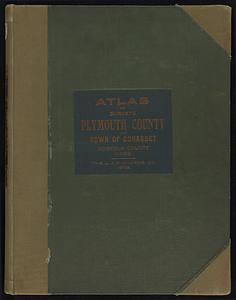
New topographical atlas of surveys Plymouth County, together with town of Cohasset, Norfolk County, Massachusetts
368.
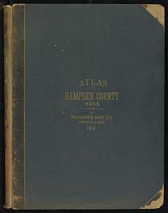
New topographical atlas of the county of Hampden, Massachusetts
369.
Official topographical atlas of Massachusetts : from astronomical, trigonometrical and various local surveys
370.
Plans of estates of William C. Barstow
371.
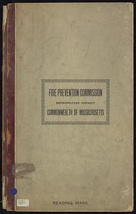
Reading, Middlesex County, Massachusetts
372.
Richards standard atlas of Hampden County, Massachusetts
373.
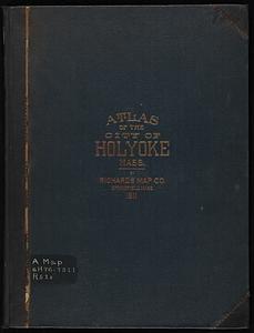
Richards standard atlas of the city of Holyoke, Massachusetts : containing ten double page maps in colors, covering the entire...
374.
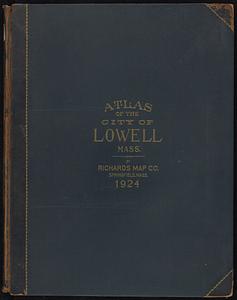
Richards standard atlas of the city of Lowell, Massachusetts
375.
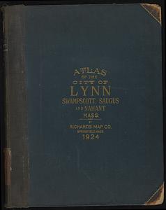
Richards standard atlas of the city of Lynn and the towns of Swampscott, Saugus, and Nahant, Massachusetts
376.
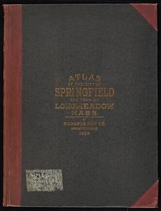
Richards Standard atlas of the city of Springfield and the town of Longmeadow, Massachusetts
377.
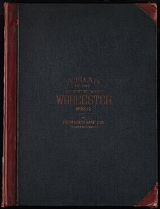
Richards Standard Atlas of the city of Worcester, Massachusetts
378.
Richards standard atlas of the city of Worcester, Massachusetts
379.
Richards standard atlas of the town of Greenfield, Massachusetts
380.
Saugus, Essex County, Massachusetts
« Previous
Next »
1
2
…
15
16
17
18
19
20
Limit your search
Subject
Brookline (Mass.)--Maps
240
Real property--Massachusetts--Brookline--Maps
218
Landowners--Massachusetts--Brookline--Maps
214
Landowners--Massachusetts--Boston--Maps
46
Real property--Massachusetts--Boston--Maps
46
Buildings--Massachusetts--Boston--Maps
34
Brighton (Boston, Mass.)--Maps
16
Boston (Mass.)--Maps
14
more
Subject
»
Place
North and Central America
381
United States
378
Norfolk (county)
250
Massachusetts
243
Brookline
241
Suffolk (county)
52
Boston
50
Essex (county)
28
more
Place
»
Format
Maps/Atlases
381
Available to use
No known restrictions
237
Date
View distribution
Current results range from
1844
to
1972
Date range begin
Date range end
View larger »
Collection
Norman B. Leventhal Map & Education Center Collection
237
Boston and New England Maps (Collection of Distinction)
235
Urban Maps (Collection of Distinction)
235
Massachusetts Real Estate Atlases
143
Massachusetts Board of Harbor and Land Commissioners
1
Institution
Boston Public Library
237
State Library of Massachusetts
144