Skip to search
Skip to main content
Skip to first result
Digital Commonwealth
Folders
Sign Up / Log In
Search for
Search
Search
Search
Basic
Advanced
Explore
Map
Collections
Institutions
Formats
For Educators
Primary Source Sets
Lesson Plans
Using Primary Sources
Searching Digital Commonwealth
For Institutions
Join Digital Commonwealth
Conferences, Trainings, & Events
How to Contribute Collections
Digitization Services
Board & Committees
Frequently Asked Questions
About
About Digital Commonwealth
News & Announcements
Copyright & Terms of Use
Harmful Content Statement
Partners
API
Contact Us
Search
Search Constraints
Start Over
Save Search
Your search:
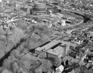
More Like
commonwealth:c534fq36j
✖
Remove constraint More Like: commonwealth:c534fq36j
« Prev.
|
41
-
60
of
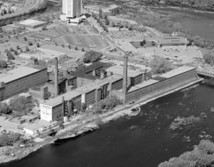
176
|
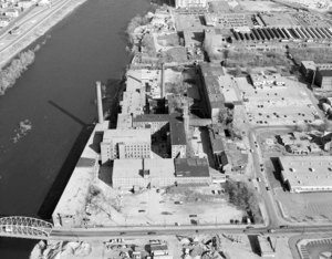
Next »
Sort
by relevance
relevance
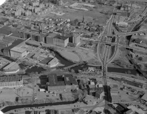
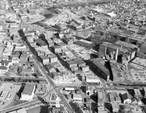
title
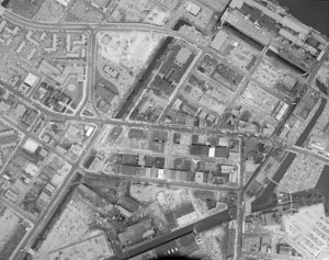
date (asc)
date (desc)
recently added
Number of results to display per page
20
per page
per page
10
per page
20
per page
50
per page
100
per page
View results as:
List
list view
Maps
map view
Gallery
grid view
Search Results
41.
Close up of John Pilling housing and Francis Gate
42.
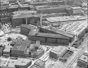
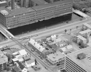
Close up of Lawrence Manufacturing
43.
Close up of Lawrence Mills with Merrimack River on left
44.
Close up of Lord Overpass area looking south
45.
Close up of Market Mills
46.
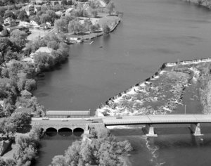
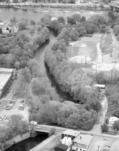
Close up of Merrimack River at Pawtucket Falls
47.
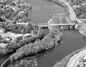
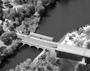
Close up of Northern Canal and School Street Bridge
48.
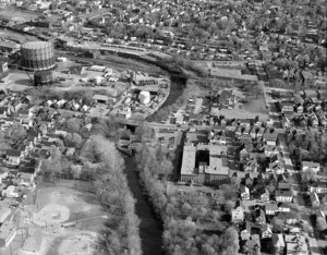
Close up of Pawtucket Canal area at Canal Field
49.
Close up of Pawtucket Canal at Canal Field
50.
Close up of Pawtucket Gate House and School Street Bridge
51.
Close up of St. Anne's Church looking south over Dutton Street
52.
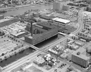
Close up of Suffolk (Wannalancit Mill) and across Father Morissette Blvd.
53.
Close up of Suffolk (Wannalancit) Mill and Northern Canal
54.
Close up of Suffolk (Wannalancit) Mill looking northeast to Merrimack River
55.
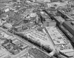
Close up of Visitor Center parking lot site looking north along Merrimack Canal
56.
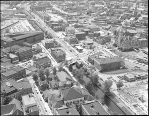
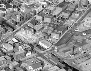
Downtown at Dutton and Market Streets looking towards Bon Marche Building
57.
Downtown close up, Merrimack Street crossing with Dutton
58.
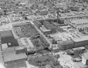
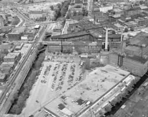
Downtown from Pawtucket Canal to Father Morissette Blvd.
59.
Downtown from Visitor Center parking lot site
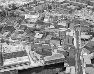
60.
Downtown looking from Leo Roy Garage construction to high school and Boott Mill parking
« Previous
Next »
1
2
3
4
5
6
7
8
9
Limit your search
Format
Photographs
176
Date
1979
134
Collection
Lowell National Historic Park Collection
176
Institution
Lowell National Historic Park
176