Skip to search
Skip to main content
Skip to first result
Digital Commonwealth
Folders
Sign Up / Log In
Search for
Search
Search
Search
Basic
Advanced
Explore
Map
Collections
Institutions
Formats
For Educators
Primary Source Sets
Lesson Plans
Using Primary Sources
Searching Digital Commonwealth
For Institutions
Join Digital Commonwealth
Conferences, Trainings, & Events
How to Contribute Collections
Digitization Services
Board & Committees
Frequently Asked Questions
About
About Digital Commonwealth
News & Announcements
Copyright & Terms of Use
Harmful Content Statement
Partners
API
Contact Us
Search
Search Constraints
Start Over
Save Search
Your search:
More Like
commonwealth:d791xv38q
✖
Remove constraint More Like: commonwealth:d791xv38q
« Prev.
|
41
-
60
of
145
|
Next »
Sort
by relevance
relevance
title
date (asc)
date (desc)
recently added
Number of results to display per page
20
per page
per page
10
per page
20
per page
50
per page
100
per page
View results as:
List
list view
Maps
map view
Gallery
grid view
Search Results
41.
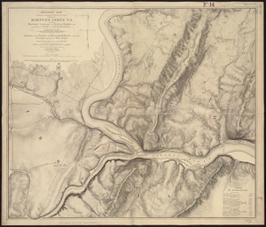
Military map showing the topographical features of the country adjacent to Harper's Ferry, Va : including Maryland, Loudoun,...
42.
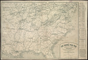
The model war map giving the southern & middle states, with all their water & railroad connections
43.
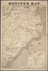
Monitor map, showing the whole seacoast from Chesapeake Bay, down to Savannah harbor, and the whole country between Richmond &...
44.
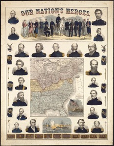
Our Nation's Heroes
45.
Perrine's new topographical war map of the southern states : taken from the latest government surveys and official reports
46.
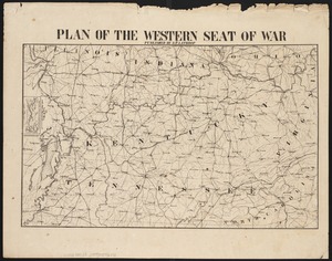
Plan of the western seat of war
47.
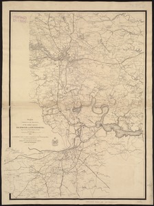
Region embraced in the operations of the armies against Richmond and Petersburg
48.
Richmond Petersburg and vicinity
49.
Richmond Petersburg and vicinity
50.
Route of the late expedition commanded by Act'g Rear Admiral D.D. Porter U.S.N. attempting to get into the Yazoo River by the...
51.
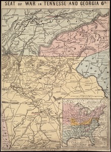
Seat of war in Tennesse and Georgia : 6D
52.
Seat of war in Virginia
53.
Seat of war in Virginia and Maryland
54.
Siege operations at Spanish Fort, Mobile Bay : by the U.S. forces under Maj. Gen. Canby. Captured by the Army of West Miss. on...
55.
War maps and diagrams
56.
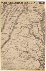
War telegram marking map
57.
What the administration has done : map showing the progress of the national armies during the years 1861, 1862, 1863, and 1864
58.
Wyld's military map of the United States, the northern states, and the southern Confederate states : with the forts, harbours,...
59.
The 1976 proposed regional open space plan
60.
Airbrush base for the Pelorus Linea region of Europa
« Previous
Next »
1
2
3
4
5
6
7
8
Limit your search
Subject
United States--History--Civil War, 1861-1865--Maps
55
Massachusetts--Maps
17
Virginia--History--Civil War, 1861-1865--Maps
11
Confederate States of America--History--Maps
9
Land use--Massachusetts--Maps
7
Connecticut--Maps
5
Watersheds--Massachusetts--Maps
5
Boston Metropolitan Area (Mass.)--Maps
4
more
Subject
»
Place
North and Central America
130
United States
129
Massachusetts
53
Virginia
25
Confederate States of America
9
Boston
8
Suffolk (county)
8
Richmond
6
more
Place
»
Format
Maps/Atlases
141
Documents
2
Ephemera
2
Manuscripts
1
Posters
1
Available to use
No known restrictions
143
Date
View distribution
Current results range from
1860
to
2015
Date range begin
Date range end
View larger »
Collection
Norman B. Leventhal Map & Education Center Collection
143
David Judkins Weaver Papers
96
Boston and New England Maps (Collection of Distinction)
61
Urban Maps (Collection of Distinction)
7
American Civil War Collection
1
Other
1
Institution
Boston Public Library
143
Scottish Rite Masonic Museum and Library
1
State Library of Massachusetts
1
We'd love your feedback!
×
Would you be interested in taking a short survey about Digital Commonwealth?