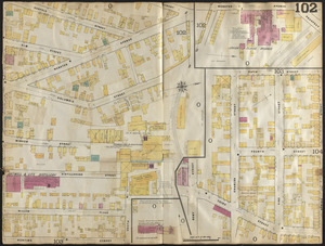
241. Insurance maps of Boston volume 4 : comprising portions of Charlestown, East Cambridge, Cambridge Port, Old Cambridge & Somerville : plate 102 Creator: Sanborn Map & Publishing Co. Format: Maps/Atlases Collection: Boston and New England Maps (Collection of Distinction) / Norman B. Leventhal Map & Education Center Collection / Urban Maps (Collection of Distinction) Date: 1885 Institution: Boston Public Library
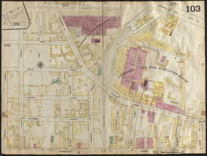
242. Insurance maps of Boston volume 4 : comprising portions of Charlestown, East Cambridge, Cambridge Port, Old Cambridge & Somerville : plate 103 Creator: Sanborn Map & Publishing Co. Format: Maps/Atlases Collection: Boston and New England Maps (Collection of Distinction) / Norman B. Leventhal Map & Education Center Collection / Urban Maps (Collection of Distinction) Date: 1885 Institution: Boston Public Library
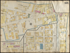
243. Insurance maps of Boston volume 4 : comprising portions of Charlestown, East Cambridge, Cambridge Port, Old Cambridge & Somerville : plate 101 Creator: Sanborn Map & Publishing Co. Format: Maps/Atlases Collection: Boston and New England Maps (Collection of Distinction) / Norman B. Leventhal Map & Education Center Collection / Urban Maps (Collection of Distinction) Date: 1885 Institution: Boston Public Library
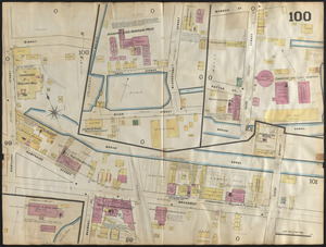
244. Insurance maps of Boston volume 4 : comprising portions of Charlestown, East Cambridge, Cambridge Port, Old Cambridge & Somerville : plate 100 Creator: Sanborn Map & Publishing Co. Format: Maps/Atlases Collection: Boston and New England Maps (Collection of Distinction) / Norman B. Leventhal Map & Education Center Collection / Urban Maps (Collection of Distinction) Date: 1885 Institution: Boston Public Library
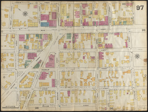
245. Insurance maps of Boston volume 4 : comprising portions of Charlestown, East Cambridge, Cambridge Port, Old Cambridge & Somerville : plate 97 Creator: Sanborn Map & Publishing Co. Format: Maps/Atlases Collection: Boston and New England Maps (Collection of Distinction) / Norman B. Leventhal Map & Education Center Collection / Urban Maps (Collection of Distinction) Date: 1885 Institution: Boston Public Library
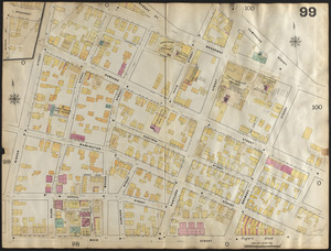
246. Insurance maps of Boston volume 4 : comprising portions of Charlestown, East Cambridge, Cambridge Port, Old Cambridge & Somerville : plate 99 Creator: Sanborn Map & Publishing Co. Format: Maps/Atlases Collection: Boston and New England Maps (Collection of Distinction) / Norman B. Leventhal Map & Education Center Collection / Urban Maps (Collection of Distinction) Date: 1885 Institution: Boston Public Library
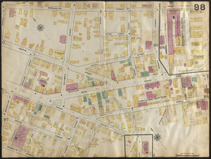
247. Insurance maps of Boston volume 4 : comprising portions of Charlestown, East Cambridge, Cambridge Port, Old Cambridge & Somerville : plate 98 Creator: Sanborn Map & Publishing Co. Format: Maps/Atlases Collection: Boston and New England Maps (Collection of Distinction) / Norman B. Leventhal Map & Education Center Collection / Urban Maps (Collection of Distinction) Date: 1885 Institution: Boston Public Library
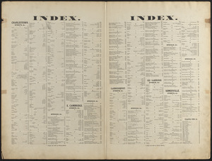
248. Insurance maps of Boston volume 4 : comprising portions of Charlestown, East Cambridge, Cambridge Port, Old Cambridge & Somerville : street index Creator: Sanborn Map & Publishing Co. Format: Maps/Atlases Collection: Boston and New England Maps (Collection of Distinction) / Norman B. Leventhal Map & Education Center Collection / Urban Maps (Collection of Distinction) Date: 1885 Institution: Boston Public Library
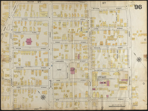
249. Insurance maps of Boston volume 4 : comprising portions of Charlestown, East Cambridge, Cambridge Port, Old Cambridge & Somerville : plate 96 Creator: Sanborn Map & Publishing Co. Format: Maps/Atlases Collection: Boston and New England Maps (Collection of Distinction) / Norman B. Leventhal Map & Education Center Collection / Urban Maps (Collection of Distinction) Date: 1885 Institution: Boston Public Library
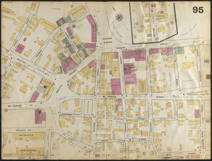
250. Insurance maps of Boston volume 4 : comprising portions of Charlestown, East Cambridge, Cambridge Port, Old Cambridge & Somerville : plate 95 Creator: Sanborn Map & Publishing Co. Format: Maps/Atlases Collection: Boston and New England Maps (Collection of Distinction) / Norman B. Leventhal Map & Education Center Collection / Urban Maps (Collection of Distinction) Date: 1885 Institution: Boston Public Library
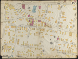
251. Insurance maps of Boston volume 4 : comprising portions of Charlestown, East Cambridge, Cambridge Port, Old Cambridge & Somerville : plate 110 Creator: Sanborn Map & Publishing Co. Format: Maps/Atlases Collection: Boston and New England Maps (Collection of Distinction) / Norman B. Leventhal Map & Education Center Collection / Urban Maps (Collection of Distinction) Date: 1885 Institution: Boston Public Library
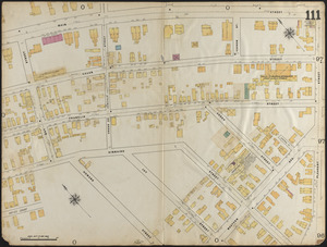
252. Insurance maps of Boston volume 4 : comprising portions of Charlestown, East Cambridge, Cambridge Port, Old Cambridge & Somerville : plate 111 Creator: Sanborn Map & Publishing Co. Format: Maps/Atlases Collection: Boston and New England Maps (Collection of Distinction) / Norman B. Leventhal Map & Education Center Collection / Urban Maps (Collection of Distinction) Date: 1885 Institution: Boston Public Library
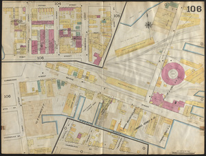
253. Insurance maps of Boston volume 4 : comprising portions of Charlestown, East Cambridge, Cambridge Port, Old Cambridge & Somerville : plate 106 Creator: Sanborn Map & Publishing Co. Format: Maps/Atlases Collection: Boston and New England Maps (Collection of Distinction) / Norman B. Leventhal Map & Education Center Collection / Urban Maps (Collection of Distinction) Date: 1885 Institution: Boston Public Library
254. Lechmere Canal, Cambridge : condition of retaining walls and bed of canal, inspection for Committee on Charles River Dam, Nov. 1, 1902 Format: Maps/Atlases Collection: Norman B. Leventhal Map & Education Center Collection Date: 1902 Institution: Boston Public Library
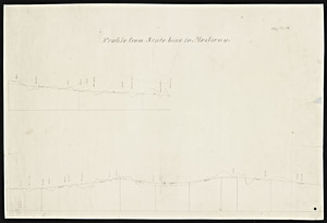
255. Map and profile of Charles River Railroad from Boston to Woonsocket Creator: Charles River Railroad Format: Maps/Atlases Collection: Massachusetts Board of Railroad Commissioners Institution: State Library of Massachusetts
256. Map of a portion of the cities of Cambridge, Somerville and Charlestown, showing the drainage area of Millers River and Basins Creator: Massachusetts. Dept. of Public Health; Massachusetts. Board of Harbor Commissioners Format: Maps/Atlases Collection: Massachusetts Board of Harbor and Land Commissioners Date: 1872 Institution: State Library of Massachusetts
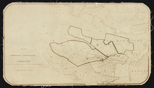
257. Map of Cambridge Creator: Hastings, Lewis M. Format: Maps/Atlases Collection: Boston and New England Maps (Collection of Distinction) / Norman B. Leventhal Map & Education Center Collection / Urban Maps (Collection of Distinction) Date: 1895 Institution: Boston Public Library
258. Map of Cambridge in the vicinity of Harvard College 1903-4 Creator: Harvard College (1780- ). Lawrence Scientific School Format: Maps/Atlases Collection: Norman B. Leventhal Map & Education Center Collection Date: [1903] Institution: Boston Public Library
259. A map of Cambridge, Mass Creator: Hayward, James, 1786-1866 Format: Maps/Atlases Collection: Boston and New England Maps (Collection of Distinction) / Norman B. Leventhal Map & Education Center Collection / Urban Maps (Collection of Distinction) Date: 1838 Institution: Boston Public Library
260. Map of Cambridge Massachusetts Format: Maps/Atlases Collection: Boston and New England Maps (Collection of Distinction) / Norman B. Leventhal Map & Education Center Collection / Urban Maps (Collection of Distinction) Date: 1891 Institution: Boston Public Library