Search

Limit your search
- Houses27,398
- Roads3,552
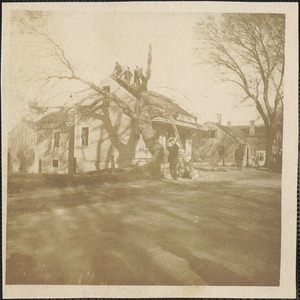
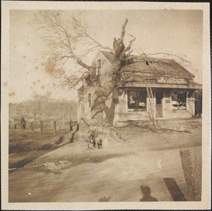
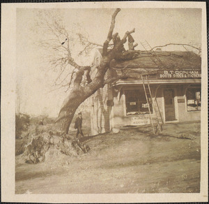
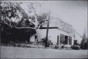
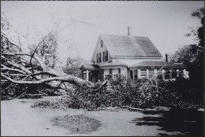
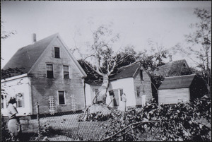
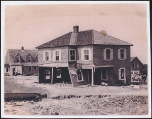
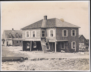
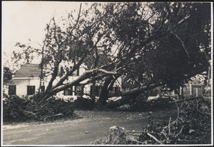
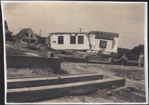
- Hurricanes1,963
- Cities and towns1,680
- Land use mapping1,680
- Soil mapping1,680
- United States. Work Projects Administration1,680
- United States. Works Progress Administration1,680
- North and Central America32,195
- United States31,979
- Massachusetts29,982
- Norfolk (county)10,702
- Needham9,055
- Suffolk (county)5,105
- Boston4,791
- Barnstable (county)4,444
- Photographs30,749
- Postcards/Cards2,875
- Maps/Atlases1,738
- Prints693
- Drawings/Illustrations172
- Ephemera107
- Manuscripts75
- Film/Video62
- No known restrictions16,884
- Creative Commons license12,722
- Needham Historical House Collection8,976
- Historical Society of Old Yarmouth Archives and Local History Collection4,412
- Bainbridge Bunting Photograph Collection2,837
- Land study maps, 1936-19371,680
- Frank Cousins Glass Plate Negatives Collection, 1890-19201,559
- Boston Herald-Traveler Photo Morgue1,236
- Bill Lane Photograph Collection1,104
- Tichnor Brothers Postcard Collection1,103