Skip to search
Skip to main content
Skip to first result
Digital Commonwealth
Folders
Sign Up / Log In
Search for
Search
Search
Search
Basic
Advanced
Explore
Map
Collections
Institutions
Formats
For Educators
Primary Source Sets
Lesson Plans
Using Primary Sources
Searching Digital Commonwealth
For Institutions
Join Digital Commonwealth
Conferences, Trainings, & Events
How to Contribute Collections
Digitization Services
Board & Committees
Frequently Asked Questions
About
About Digital Commonwealth
News & Announcements
Copyright & Terms of Use
Harmful Content Statement
Partners
API
Contact Us
Search
Search Constraints
Start Over
Save Search
Your search:
More Like
commonwealth:n87107090
✖
Remove constraint More Like: commonwealth:n87107090
« Prev.
|
81
-
100
of
167
|
Next »
Sort
by relevance
relevance
title
date (asc)
date (desc)
Number of results to display per page
20
per page
per page
10
per page
20
per page
50
per page
100
per page
View results as:
List
list view
Maps
map view
Gallery
grid view
Search Results
81.
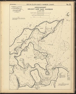
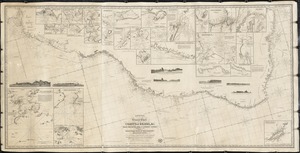
Greenport, Orient, and Sag Harbor, L.I., New York
82.
Greenwich and Apponaug, R.I. ; Wickford, R.I.
83.
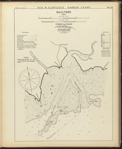
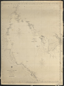
Guilford, Conn.
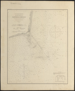
84.
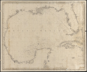
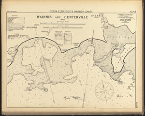
Gulf of Mexico
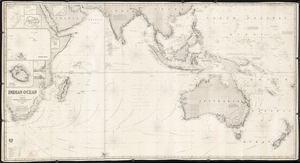
85.
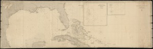
Gulf of Mexico, West Indies, and Caribbean Sea
86.
Gulf of Siam
87.
Hatteras Shoals
88.
Hyannis and Centerville, Mass.
89.
Indian Ocean
90.
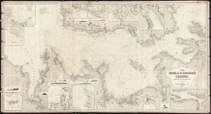
The Irish or St. George's Channel
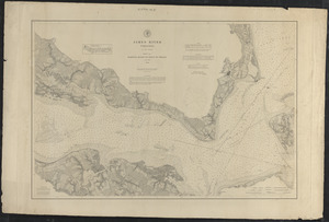
91.
James River, Virginia, sheet no. 1, Hampton Roads to point of shoals
92.
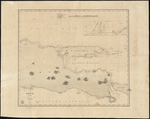
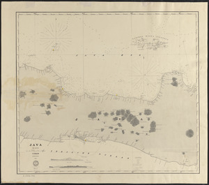
Java
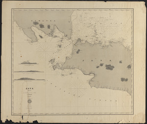
93.
Java, blad I
94.
Java, blad II
95.
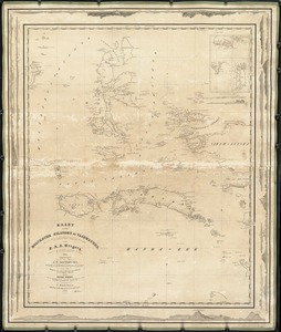
Kaart der Moluksche Eilanden en Vaarwaters, benevens een blad met verchillende plannen volgens de laatste Hydrographische...
96.
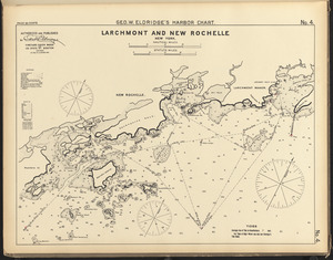
Larchmont and New Rochelle, New York
97.
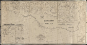
Laurie's general chart of the coasts of Brasil, &c. from the River Para to Buenos Ayres with particular plans of the harbours
98.
Laurie's general chart of the coasts of Brasil, &c. from the River Para to Buenos-Ayres, with particular plans of the harbors
99.
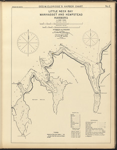
Little Neck Bay, Manhasset and Hempstead Harbors, L.I. New York
100.
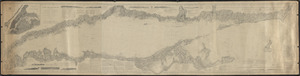
Long Island Sound
« Previous
Next »
1
2
3
4
5
6
7
8
9
Limit your search
Subject
Harbors
52
Coastlines
27
Bays (Bodies of water)
23
Oceans
11
Rivers
10
Channels
9
Islands
8
Seas
4
more
Subject
»
Place
North and Central America
99
United States
91
Massachusetts
30
Connecticut
17
Asia
11
Dukes (county)
10
Rhode Island
10
Barnstable (county)
9
more
Place
»
Format
Maps/Atlases
167
Available to use
Creative Commons license
167
Date
View distribution
Current results range from
1826
to
1919
Date range begin
Date range end
View larger »
Collection
Nautical Chart Collection of the Chatham Historical Society
167
Institution
Atwood Museum of the Chatham Historical Society
167